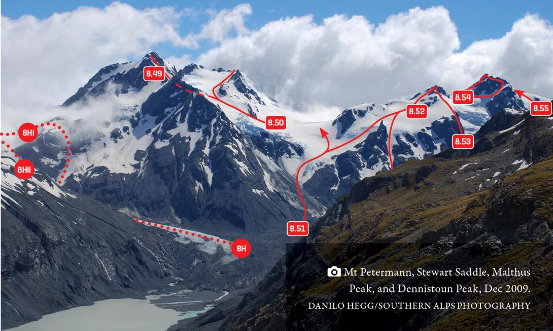
Sealy Pass, Mt Petermann, Stewart Saddle, Malthus and Dennistoun Peaks, December 2009
Access to the Godley Glacier via Godley Lake
Route 8F on photo topo, ungradeable
The Godley Lake is expanding rapidly (about 1.5km up valley over the last ten years) and neither shoreline offers reliable access. The ‘easiest’ method to reach the main glacier – which has been performed surprisingly frequently – is to take a small boat across the lake. In early 2015, there was a sandy beach to land on at the head of the lake at about BX17 018 868.
Access to the Godley Glacier via Godley Ridge
Route 8G on photo topo, grade I, 2
From the Godley Hut toilet, climb onto the ridge separating the Godley Lake from FitzGerald Stream (Godley Ridge), then choose one of the following options to descend back to the true left of the Godley Lake or Glacier. These routes are tricky to navigate in misty conditions.
- Descend the spur beginning north-west of Pt 1887m, to reach the lakeshore at about BX17 996 847. This option was recommended in the Godley hutbook in early 2015, and avoids the worst section of the shoreline.
- Continue sidling on the north-west side of the ridge, which is fully tedious but not too difficult. Take care at a steep section near Pt 1877m. Continue to the top of a prominent north-tending gully below Pt 2029m, starting at about BX 17 013 352 (1680m). Descend the gully down to the true left edge of the lake. There is a fairly large moraine wall here, which in 2018 wasn’t too bad. Some parties have descended the stream draining the Trident Glacier – that is longer, and trickier to get into at the top, but in future may be the best line depending on how the moraine walls change at the bottom.
It looks tempting on the map to sidle across the Trident Glacier and descend to the Godley Glacier further up valley, but the moraine walls can be nasty there.
Access to the Neish Plateau
Route 8H on photo topo, grade II, 2
Within a few years, the Godley Lake may envelop the toe of the Neish Glacier. Until then, it is possible to access the plateau on foot. The Neish Icefall is avoided on the true left (east) side. From the Neish Glacier, either:
- ascend a gully that leads north straight to Pt 1838m; or
- ascend a sloping rock bench next to the icefall that finishes in a basin at 1610m, south-west of Sealy Pass. There are tarns and campsites in the basin during summer.
Traverse past Sealy Pass onto the Neish Plateau.
Alternatively, ascend the Maud Glacier and cross Maud Pass to reach the head of the Neish Plateau.
It is also possible to fly directly to the Neish Plateau.
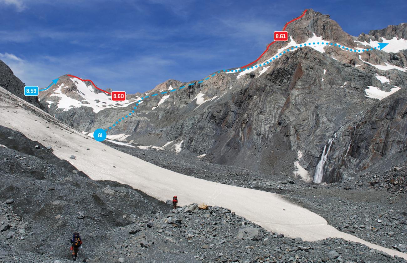
Access to the Dennistoun Glacier
Route 8I on photo topo, grade II, 2
A bluff now exists below the snout of the Dennistoun Glacier, making a direct approach from the Godley unfeasible. Instead, climb out of the Godley near Pyramus Peak and sidle around The Commander at 1900–2000m to gain the Dennistoun Glacier.
Images