Type
Mountain
Altitude
2558m
Part of
Map
Accessed from
Image
Caption
Mt Wolseley to Gorrie Pk above the Neish Plateau, December 2009
Rights credit
Danilo Hegg/Southern Alps Photography
Routes
| Reference | Title | Grade | Length | Pro | Quality | Alert | Operations |
|---|---|---|---|---|---|---|---|
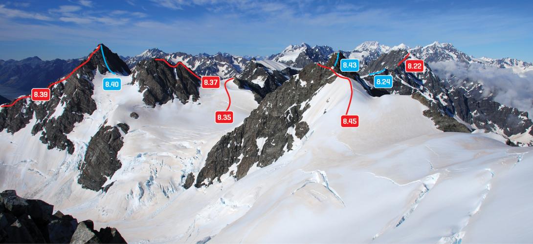
| 8.38 | 8.38South Ridge, III,3 | III,3 | 0m | ||||
|
From the Maud-Godley confluence, ascend the full length of the ridge, which steepens towards the top. Alternatively, gain the ridge from the upper Maud Glacier just below the summit block.
|
|||||||
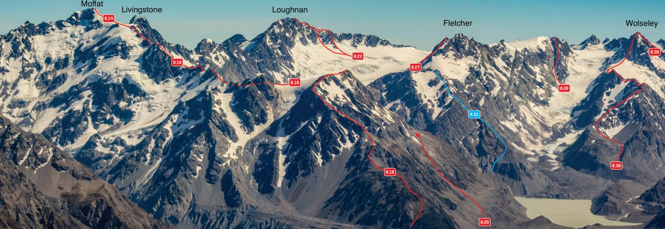
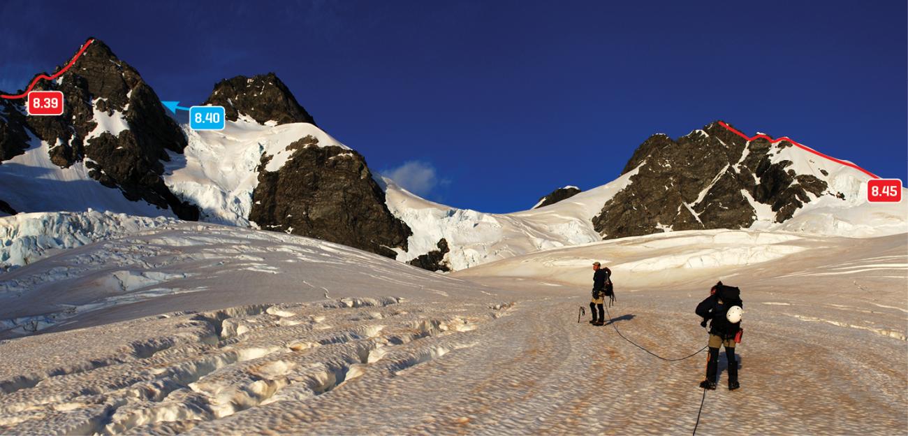
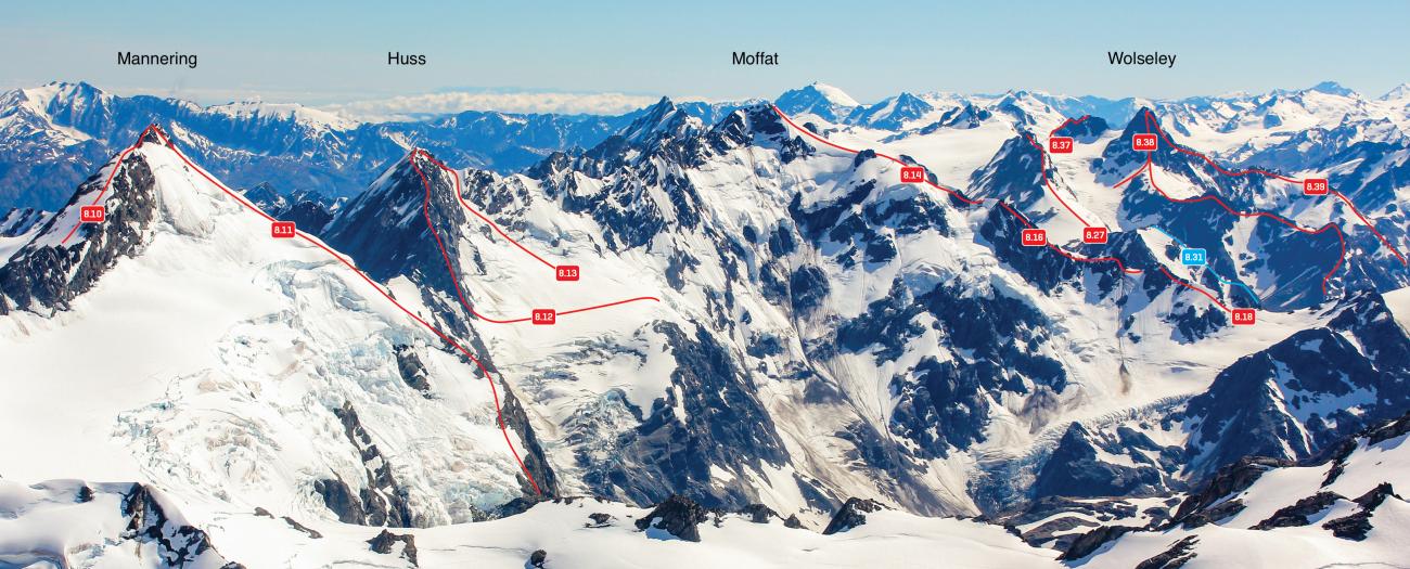
| 8.39 | 8.39East Ridge, III,2+ | III,2+ | 0m | ||||
|
A long and interesting rock ridge, with good rock on the section between the Neish and Ruth Glaciers. Originally accessed from the Godley Glacier on the true left of the Ruth Glacier, which is now almost impossible due to glacial recession. The lower ridge can also be gained from the lower Neish Glacier.
|
|||||||
| 8.40 | 8.40North Ridge, II,2+ | II,2+ | 0m | ||||
|
From the Neish Plateau, climb to the col north of the peak then head up a sound rock ridge to the summit.
|
|||||||
Images
Comments
This place appears in
Attribution
ATP 2018 (Rob Frost)
UUID
20cc6241-c6e5-4b4f-a701-b0f09f8b4387