Type
Mountain
Altitude
2486m
Part of
Existing maps label the point 2425m as Gorrie Peak, but Pt 2486m is more likely to be historically correct.
Map
Accessed from
Image
Caption
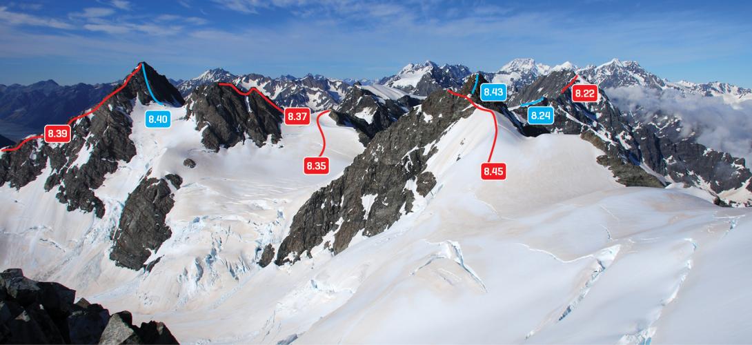
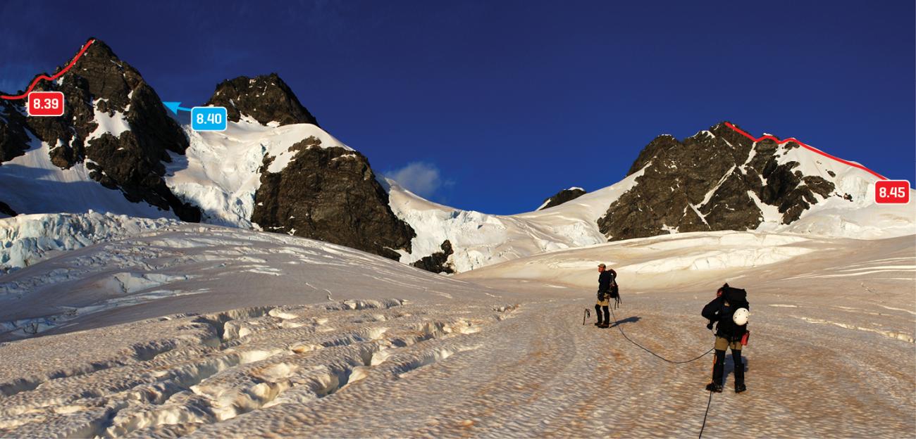
Mt Wolseley to Gorrie Pk above the Neish Plateau, December 2009
Rights credit
Danilo Hegg/Southern Alps Photography
Routes
Images
Comments
This place appears in
Attribution
ATP 2018 (Rob Frost)
CW Alps 2009 (Geoff Spearpoint, Yvonne Cook, CMC)
CW Alps 2009 (Geoff Spearpoint, Yvonne Cook, CMC)
UUID
1f071679-fa5a-403b-8697-766b49b5d940