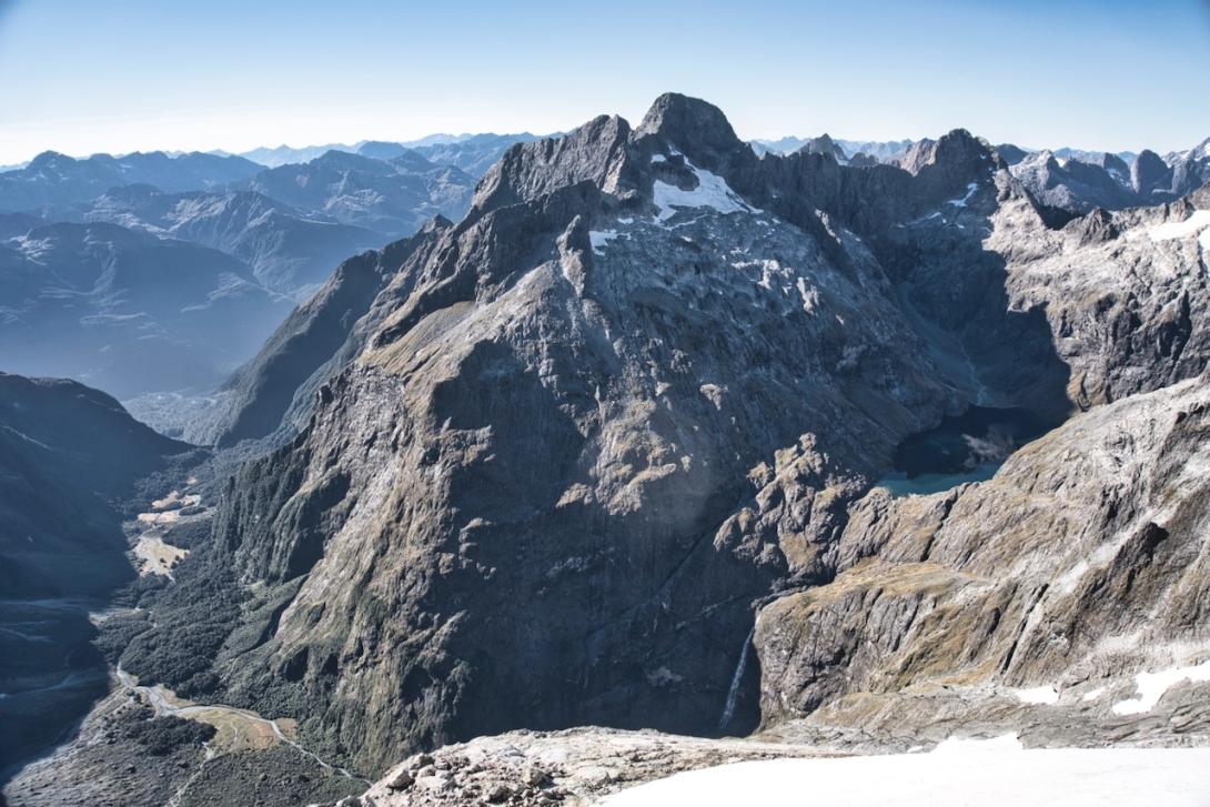
Hollyford River to Cleft Creek flats
In normal to low flow the Hollyford River can be crossed where the Hollyford Track meets the river just below the Chasm Creek confluence. It’s reasonable bush travel to reach Cleft Creek at about the 80m contour. Cross the creek and climb steep bush on the true left, keeping close to the stream. There is a bivvy rock on a small terrace in the bush on this section. Around the 400m contour, climb up above the gorge onto a narrow spur. Follow this for a short way until it’s possible to drop into the upper valley, which provides reasonable travel through bush and open flats. The enormous rock at CB09 0739 4544 is a reasonable four person bivvy, a solid day from the Hollyford.
Lake Turner via the Cleft
From the Cleft Creek bivvy rock follow the gravel streambed up and west onto the debris fan at the base of the Cleft. Climb into the Cleft and cross it (avalanche snow and bare rock slabs can make this section tricky) to gain a ledge leading back left to pick up chamois tracks on the very steep tussock spur dividing the Cleft from upper Cleft Creek. Follow rock slabs and tussock terraces around to the Lake Turner outlet.
Opportunity Spur
Opportunity Spur provides direct access to the Lake Turner basin and Turners Eyrie. Leave Cleft Creek at around the 550m contour and initially follow the watercourse draining the northern aspects of Te Wera. Climb scrubby slabs beside the spur curving down from Pt 1969m. A steep step leads through bluffs and onto tussock benches at around 1400m. Traversing these slopes either leads back down to the Lake Turner outlet, or keep at around 1600–1700m to cross under the base of Te Weraʻs West Ridge and on to Turners Eyrie (at about CB09 0698 4170). A long day from the Hollyford.
Routes out of the Lake Turner basin
- See Karetai Col for access to the Te Puoho Glacier via Lindsay’s Ledges.
- See Patuki Col for access to the Taoka Icefall and Donne River.
- See Pakihaukea Pass for access to the Tūtoko River.
- See Pikipari Pass, Mt Tarewai and Milne Tarewai Col for access to Turners Bivvy
Bivvies in the Lake Turner basin
At about CB09 0635 4390 near the outlet of Lake Turner is good camping in fine weather. A tarpaulin (stored under what has been used as a poor bivvy rock) can be rigged above the south side of the prominent triangular rock in this gully. Instructions are stored with the tarpaulin.
Turners Eyrie is an excellent six-person bivvy cave at about CB09 0698 4170. Climb the ridge from Patuki Col towards Karetai to about the 1900m contour. Look for rock cairns atop the cliff. West of the cairns, a short downclimb gains an exposed ledge leading up and around to the Eyrie. The cave faces north and in poor weather a tarpaulin can be rigged to provide protection.
