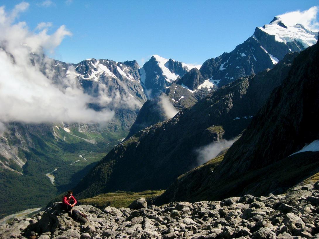
There is a well-formed and marked DoC track along the west bank which leads through bush, exiting after about two hours beside the river in the first open clearings. From here there are two options depending on whether you mind getting your feet wet.
- Follow the river upstream, staying on the west bank until parallel with Leader Creek.
- Skirt the edge of the bush on the left until a creek is reached; follow this tending left, watching for semi-cleared areas, after which a series of dry channels leads back to the main river opposite Leader Creek.
Leader Creek to the Head of the Valley
An old track exists on the true right and stays close to the river as it climbs over two bluffs. The track exits into the river bed, which eventually dries up as you gain height. Follow the creek bed to the eastern side of the valley. Pawnbroker Bivvy has not been located by recent parties and may have been destroyed or covered by avalanche debris. It provided dry shelter for four and was located on the true right bank about 250m down from Grave’s Couloir in an area of dense bush approximately 30 metres in from the river bank. It was found and named by Paul Powell after the three tussocks which formerly grew on top of the rock, three golden spheres being the traditional sign of the pawnbroker.
Leader Creek to Turners Bivvy
Follow the Tūtoko River to where the outlet of Leader Creek can be seen on the opposite side. Ford the river and continue along the east bank to where the second un-named dry creek bed is marked with a large cairn of red-painted but mossy stones. This is Limerick Creek. Follow it past Dave’s Cave to Leader Falls. Cross Leader Creek just below the falls, which can be difficult in high flow. Follow a well-marked track on the true left around the falls to the open valley above. There is a four-person bivvy rock at the top of the bush which provides some shelter. Follow the stream bed to the moraine and climb a gully on the left of a rock fan to find the start of the track which leads through the tussock bluffs, tending first right then eventually left. Higher up, a tussock ramp slants up and right to the first of the rock bivvies; the larger Turner’s Bivvy is located at least 100m further up on a broad terrace. Turner’s Bivvy is a group of rocks on a narrow tussock terrace high above the Tūtoko River and below the Madeline Icefield. The larger bivvy has room for three and the smaller takes two; there is another small bivvy 200m down the spur to Leader Creek. All are a little exposed in a good nor'west storm but otherwise give good shelter. The bivvy was discovered by Samuel Turner around 1920.
Turner’s is the main climbing base for Mt Madeline, the southeast ridge of Tūtoko, climbs around Lake Turner and trips to the Central Darrans. Turners is a permitted helicopter landing site and is a very useful base for climbing in this area.
