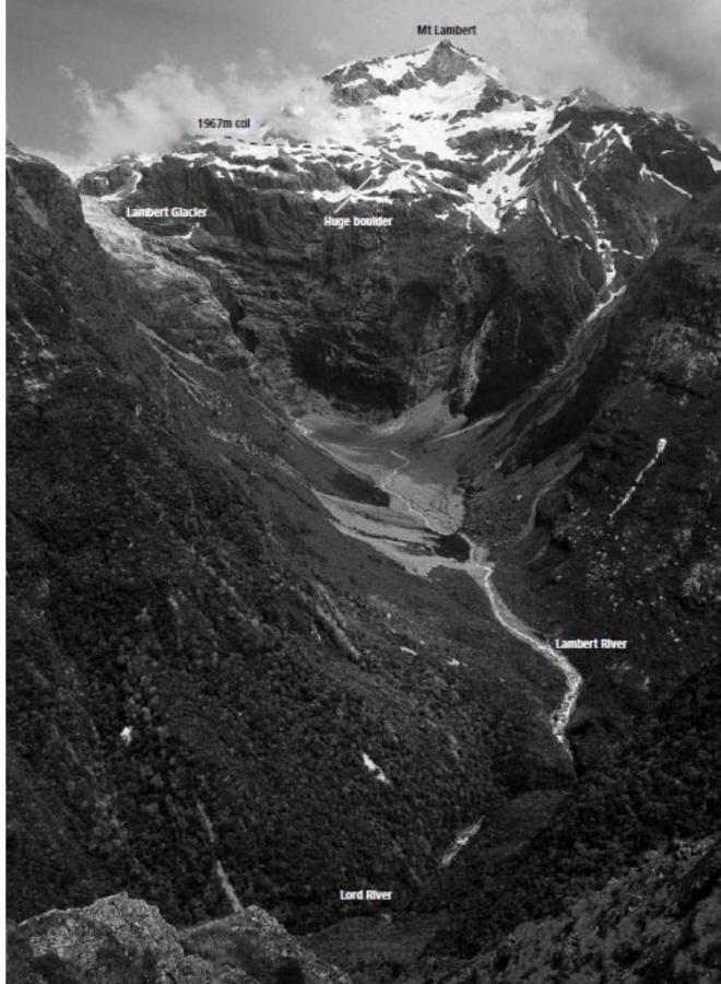
The north western slopes of the Main Divide above the Lord Valley are composed of often good quality weathered greywacke and a little searching should offer some shorter but rewarding unclimbed routes. All the peaks along here are usually approached from the east or along the Main Divide itself.
Map
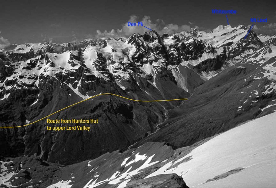
Hunters Hut to Blue Lookout and upper Lord Valley
From Hunters Hut, follow the track and riverbank to Benighted Creek. Head up the creek for 20 mins to DOC markers on the true left. The track climbs onto a terrace near the stream and follows that before climbing steeply through a scrub and flax zone to tussock tops and two small tarns at I34 294714 where there is a grass trough amongst the massive boulders at the end of the Lord Range. Parties often camp here.
To head to the upper Lord Valley, follow the lower lip of the trough south west then head across the trough before it drops away and sidle in tussock under huge boulders to a basin at I34 295708. Continue up the basin and out to the right (looking up) over a rib where there is a prominent rock at 1450m. Sidle across slopes to small broken outcrops on the ridge at 1480m, I34 299703. Descend to the shelf at False Blue Lookout where there is a tarn and sidle east, staying between 1100m and 1300m to pass north of pt 1392m. East of here travel is straight forward across to the upper valley. The gravel stream at I35 326699 gives good immediate access down to the Lord if required.
Times:
Hunters Hut to Blue Lookout, 4hrs
Blue Lookout to the upper Lord, allow a day.
Images
in association with the Canterbury Mountaineering Club