Type
Altitude
2293m
Part of
tba
Lat/lon
-44.66504424,168.22088433, NZ Topo Map
Topo50
CB09 211 431
Places
| Type | Name | Alert |
|---|---|---|
| Face | North East Face |
Routes
| Reference | Title | Grade | Length | Pro | Quality | Alert | Operations |
|---|---|---|---|---|---|---|---|
| South Ridge, I,1 | I,1 | 0m | |||||
|
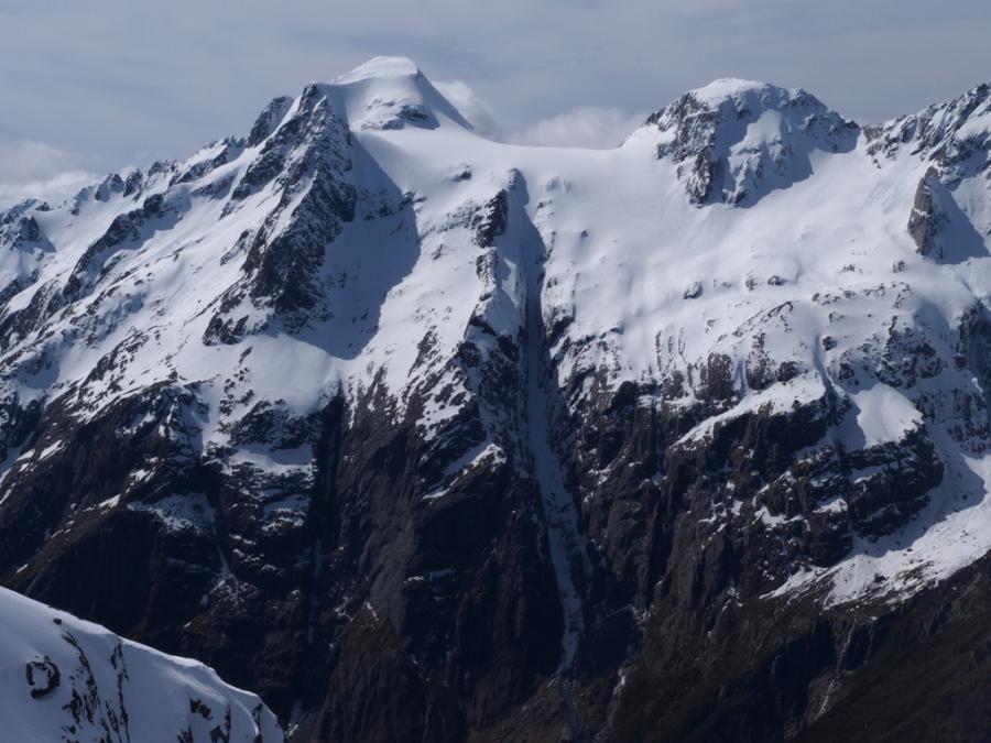
From the bivvy at D40 297 042 in North Branch of Routeburn, which is at the head of a small avalanche path about 100m above the creek on the true left, climb the prominent ridge and rock face to gain access to the snow field above. A small couloir leading left from the head of the snow field gives access to the south ridge of Somnus.
|
|||||||
| Somnus Couloir, I,2 | I,2 | 0m | |||||
|
From the bivvy at E40 303 021 climb a prominent steep couloir to gain access to the snowfields above which the south ridge can be gained.
|
|||||||
| North Ridge, II,2 | II,2 | 0m | |||||
|
The North Col of the Routeburn gives access over Nereus on the Rock Burn side at the lowest point. Snow, rock and a long couloir lead to the summit rocks.
|
|||||||
Comments
Attribution
Allen Uren & John Cocks
Photo: Neil Sloan
Photo: Neil Sloan
UUID
6174e040-5195-4693-b612-7b38ee61a9ff

See Routeburn North Branch for updated winter climbs on the western buttress of Mt. Somnus: http://climbnz.org.nz/nz/si/aspiring/dart-river/route-burn/routeburn-no…