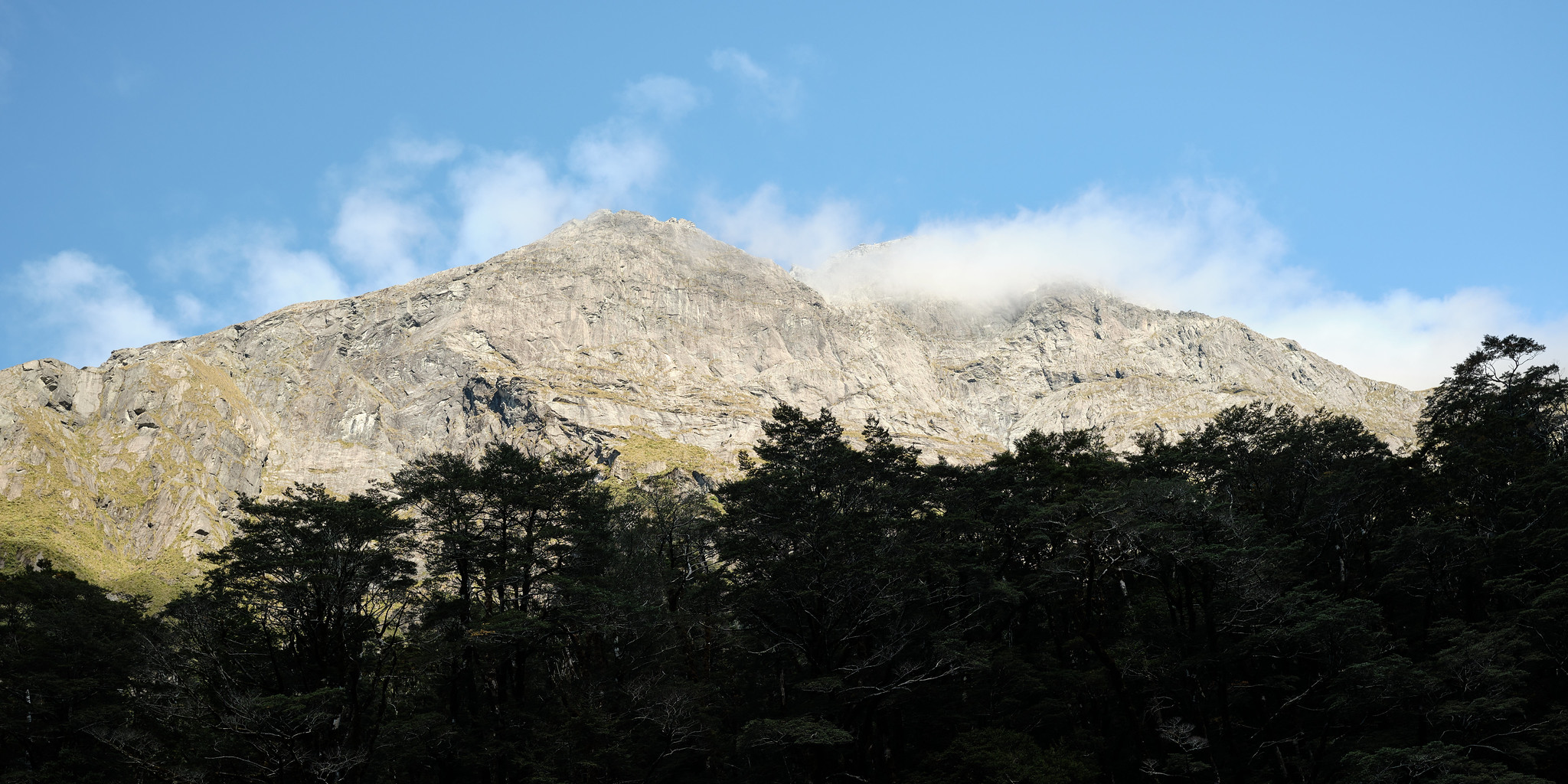
Type
Altitude
1995m
Part of
First ascent by Jack Holloway 1947.
Lat/lon
-44.61168041,168.2662428, NZ Topo Map
Topo50
CA09 244 493
Places
| Type | Name | Alert |
|---|---|---|
| Face | East Face |
Routes
| Reference | Title | Grade | Length | Pro | Quality | Alert | Operations |
|---|---|---|---|---|---|---|---|
| North Ridge, I,2 | I,2 | 0m | |||||
|
Park Glacier provides access to the long summit ridge which is traversed by passing the gendarme on either the Beans Burn side or the Lake Unknown side. Alternatively, from the head of Lake Unknown, ascend through basins to about 1920m then back along ridge. Ridge is quite narrow in places.
|
|||||||
| South Ridge, I,1 | I,1 | 0m | |||||
|
Accessible from Park Pass and the Park Glacier or Lake Unknown.
|
|||||||
Images
Comments
Attribution
Allen Uren & John Cocks
UUID
3797e1fa-3f68-49ab-82b3-33f4b8adb9ca
