Type
Altitude
1976m
Part of
Mt Whaitiri is located incorrectly on old topomaps.
Image
Caption
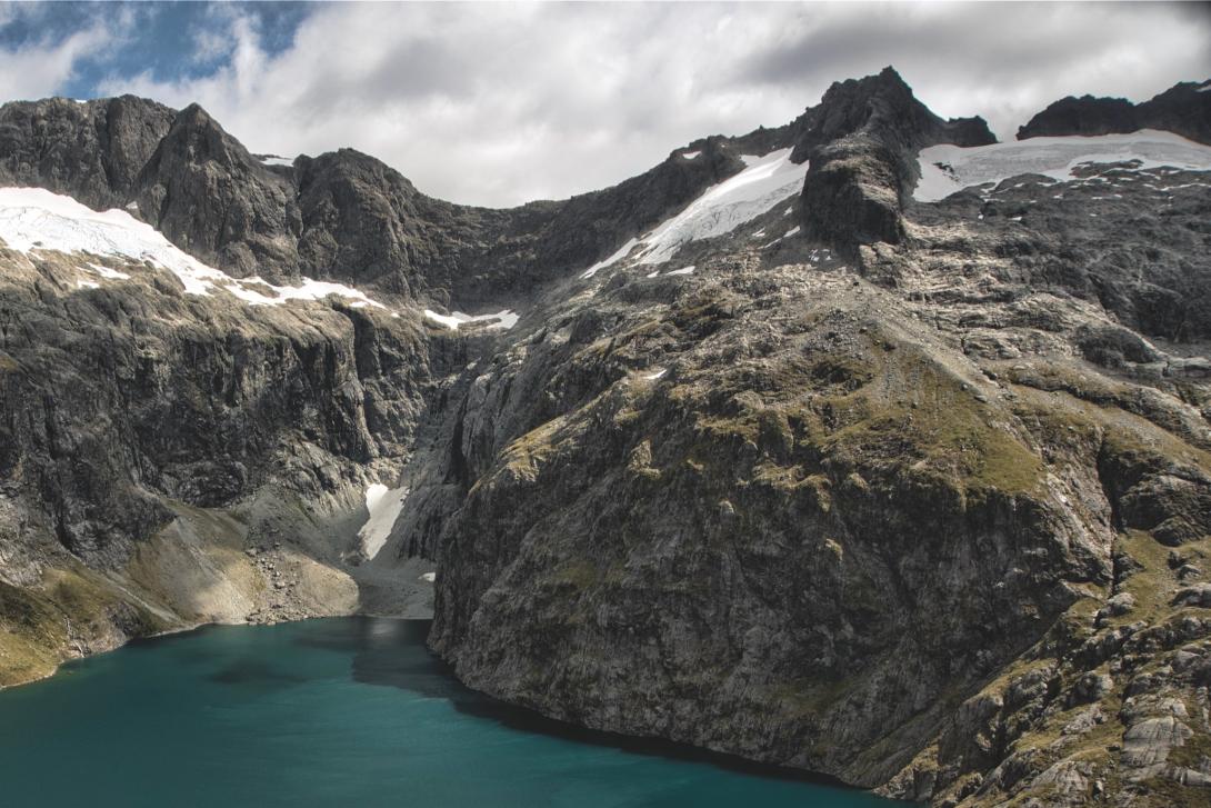
Mt Whaitiri (top right) above Lake Turner. Pakihaukea Pass is to the right.
Lat/lon
-44.654184,168.019066, NZ Topo Map
Accessed from
Routes
| Reference | Title | Grade | Length | Pro | Quality | Alert | Operations |
|---|---|---|---|---|---|---|---|
| East Ridge, II,2+ | II,2+ | 0m | |||||
|
The broad ridge narrows up high with a notch providing the crux. Climbed as part of an ice-axe free crossing of the central Darrans, but may have been climbed before.
|
|||||||
| South Ridge, II | II | 0m | |||||
|
Traverse broad terraces above Lake Turner and then the snowfield south-east of Whaitiri. The ridge is easily reached and then followed to the summit.
|
|||||||
| North Ridge | 150m | ||||||
|
Climb the ridge from Pakihaukea Pass.
|
|||||||
Comments
Attribution
Craig Jefferies
UUID
0d0248d3-4134-41d5-aafc-edb64d9d0aee