Type
Altitude
2084m
Part of
This saddle provides a straightforward crossing between the Jollie and Ailsa valleys.
Image
Caption
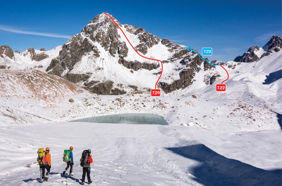
Mt Jukes and Jollie Saddle from the north, May 2017
Rights credit
Nina Dickerhof
Lat/lon
-43.65647585,170.32379805, NZ Topo Map
Topo50
BX16 842 628
Accessed from
Routes
Comments
This place appears in
Attribution
ATP 2018 (Rob Frost)
UUID
a47b20bb-4440-4025-aa95-cda398fd5eca