Type
Altitude
2247m
Part of
tba
Lat/lon
-44.473701,168.56469, NZ Topo Map
Topo50
CA10 472 659
Accessed from
Routes
| Reference | Title | Grade | Length | Pro | Quality | Alert | Operations |
|---|---|---|---|---|---|---|---|
| From Whitbourn Glacier, II,2 | II,2 | 0m | |||||
|
Traverse under Mt Maoriri and Mt Edward from Whitbourn Saddle.
|
|||||||
| Direct | 0m | ||||||
direct from the Whitbourn River below the Whitbourn Glacier (refer to Troas). |
|||||||
Comments
Attribution
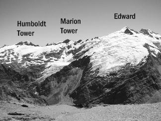
Allan Uren & John Cocks. Photo Rob Frost.
UUID
167df567-3807-4281-886e-f206537fc936
