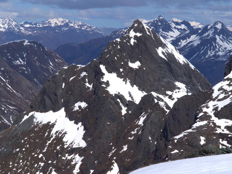
Emily Peak can be reached from either the Routeburn Flats, Lake Mackenzie, or the head of Fraser Creek.
Routes
| Reference | Title | Grade | Length | Pro | Quality | Alert | Operations |
|---|---|---|---|---|---|---|---|
| North West Ridge, II,1 | II,1 | 0m | |||||
|
From the Emily Creek bridge on the Routeburn track follow the straight rocky gully to the southwest. This is the furthest true left gully of several creeks shown on the map that join Emily Creek above the bridge. Straightforward boulder travel leads to the 1200m contour. Here, leave the stream and sidle into the snowgrass basin, climbing to Emily Pass (1607m), the northern of two rocky guts right of Emily Peak.
|
|||||||
| Wuthering Heights (West Face), 16 | 16 | 0m | |||||
Goes to the left of the right skyline. It is about grade 16. But on very compact rock with few anchors. The west face has tonnes of potential for other, harder, routes but it would need bolts as there are few opportunities for gear. The rock is simply stunning. |
|||||||
| East Ridge, I,1 | I,1 | 0m | |||||
|
From the Emily Creek bridge on the Routeburn track follow the straight rocky gully to the southwest. This is the furthest true left gully of several creeks shown on the map that join Emily Creek above the bridge. Straightforward boulder travel leads to the 1200m contour. Here, leave the stream and sidle into the snowgrass basin, climbing to the col at 1544 metres (Fraser Col). From the col follow the ridge to the summit.
|
|||||||
