“Denas the Menace”
SW ridge Mt Murchison (SW Shaler Range), from Kahutea neve, via the upper Denas face to the summit, return.
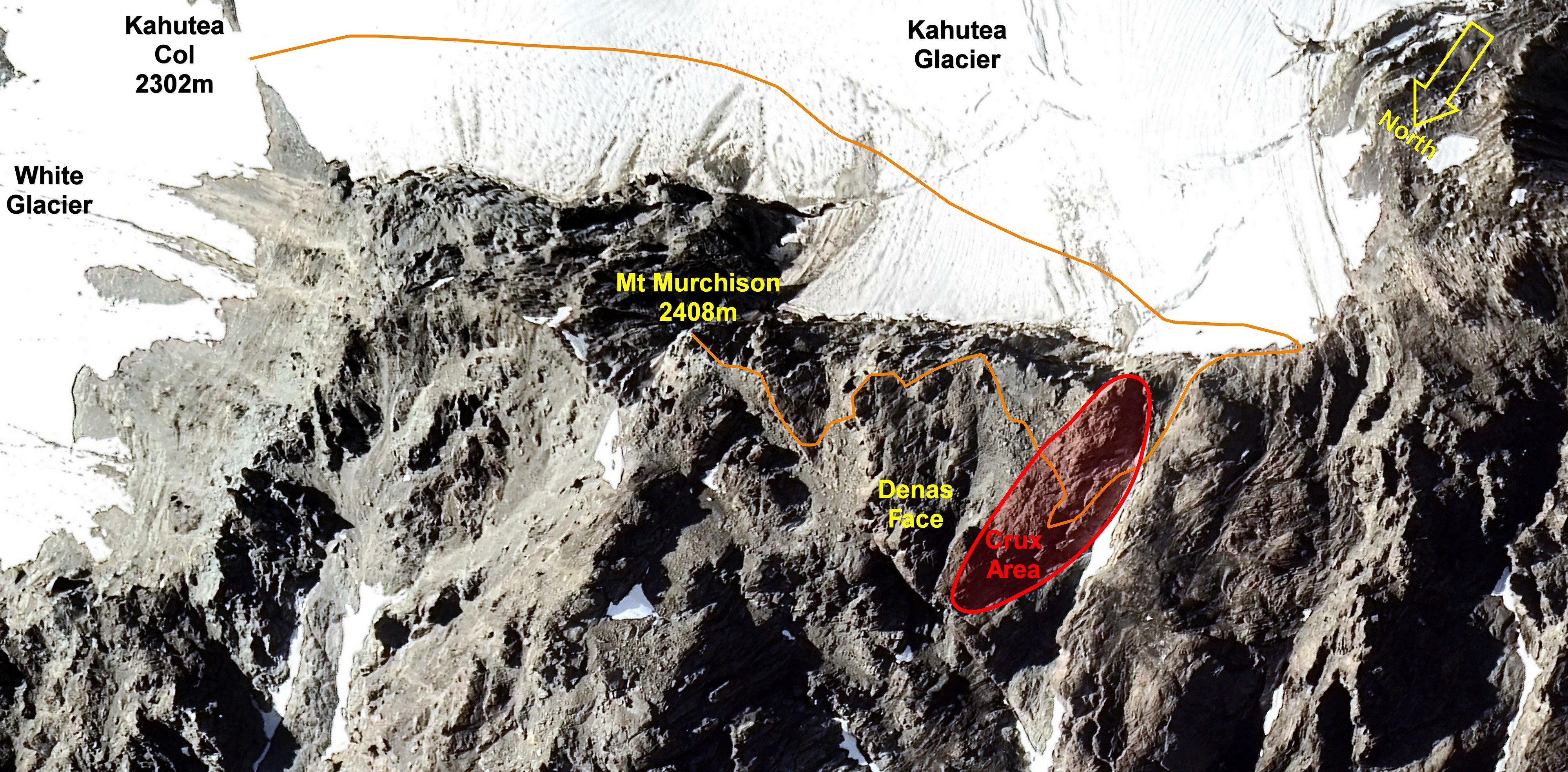
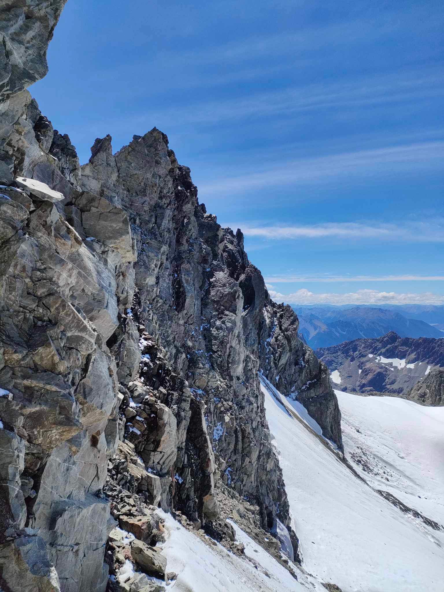
From Kahutea Col sidle the ice slopes of the Kahutea Glacier névé under Mt Murchison southwest for about 350m. This enters into a large bay of steep ice between rocky spurs. Ascend 60m to the top left-hand corner to gain the southwest ridge of Mt Murchison via a short, loose rock step. This route would likely be cut-off by bergschrunds in late summer.
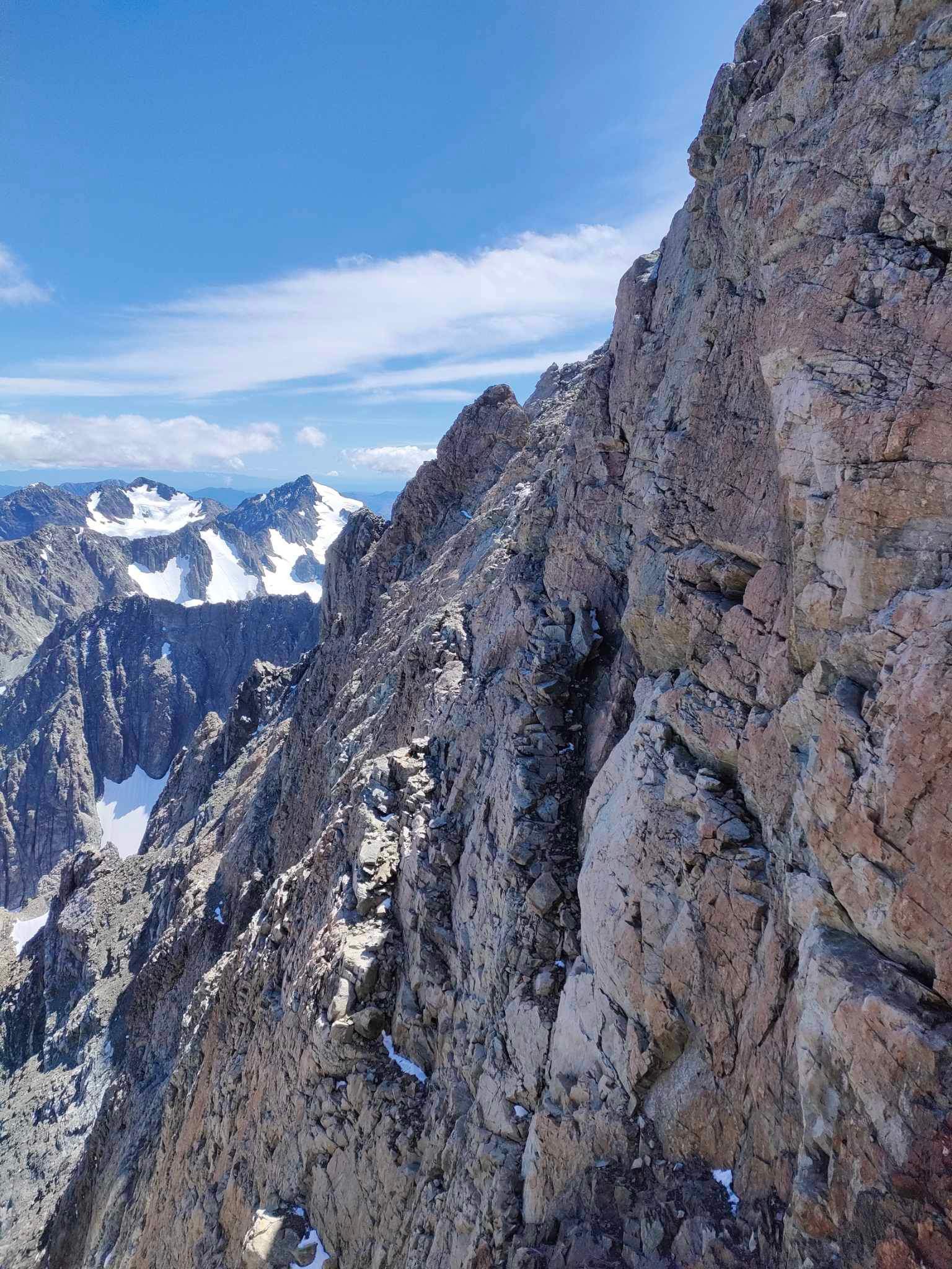
The ridge has extensive rotten rock and numerous crumbling gendarmes that need to be avoided by descending north onto the very exposed and steep ‘Denas Face’. The initial foray onto to the face happens in the first 30m of ridge travel descending a steep gully of vertical bedded rock for about (20m), before sidling out on series of exposed narrow ledges to the nose of a steep rock spur, then reascending towards the ridge. Most travel takes place on the face (well below the crest of the SW ridge). The crux is met about 300m before the summit, and takes place on reliable, firm orange rock (solo-able, Ewbank grade 11 - 14 for 30-40m laterally across the face, and 25m vertical, following cracks and ledges, with a couple of zigzags at the end to regain the SW ridge), and is the only decent patch of rock on the route. Finally scramble to the summit rocks of Murchison.
- P1
- 14
- Alpine (Commitment) IV
- Alpine (Technical) 3
- Alpine (Mt Cook) 2+
- 65m
The crux is met about 300m before the summit, and takes place on reliable, firm orange rock (solo-able, Ewbank grade 11 - 14 for 30-40m laterally across the face, and 25m vertical, following cracks and ledges, with a couple of zigzags at the end to regain the SW ridge), and is the only solid patch of rock on the route.


