Type
Altitude
3300m
Part of
Image
Caption
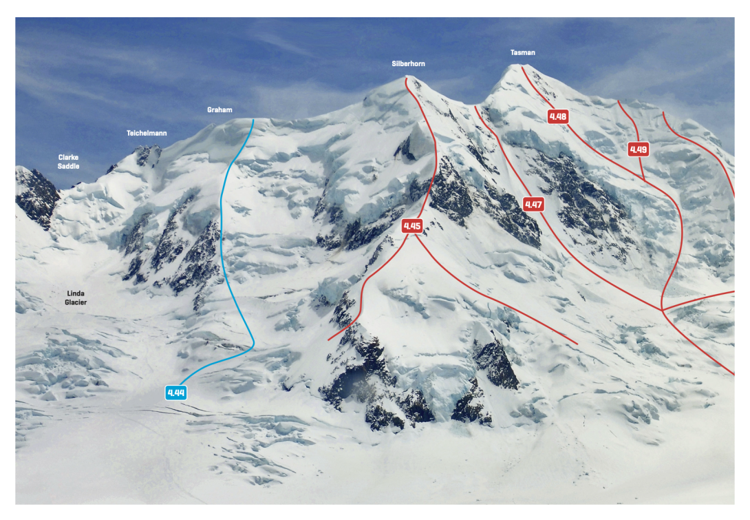
Mt Graham to Mt Tasman
Rights credit
Peter Laurenson/ Occasional Climber
Lat/lon
-43.57169997,170.1576975, NZ Topo Map
Topo50
BX15 705 718
Accessed from
Routes
Comments
This place appears in
Attribution
Alex Palman
UUID
ced135ee-62ec-45ae-8f14-174c8d720886