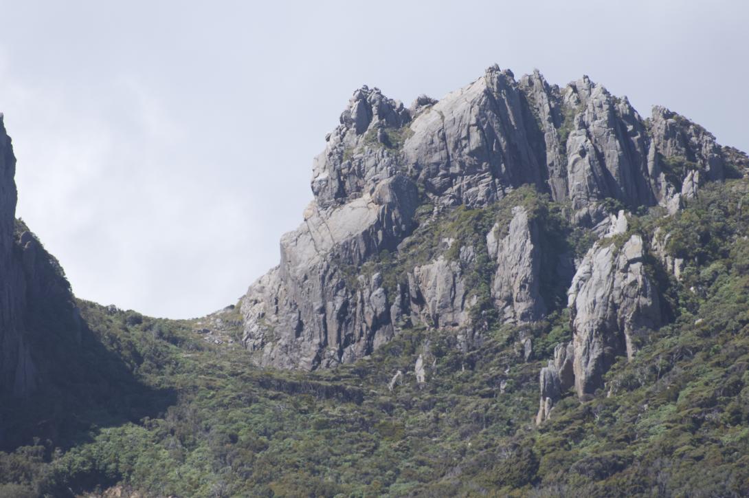
Type Crag Altitude 380m Part of Stewart Island Rakiura Map Lat/lon-46.779418,167.735362, NZ Topo Map Topo50 CH08 9814 0588 Image Places Type Name Alert Sector Lower Wall Sector Northern aspect Add Place Add Route Log in to post comments Comments UUID 1a41d126-8a2a-44a3-b74a-950acb50579c