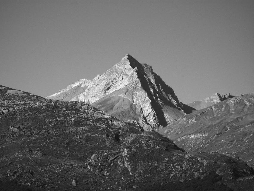
Richardson Mountains
Access from the Rees via Twenty Five Mile Creek is through Rees Valley Station. Permission must be obtained from the station prior to the start of the trip. Detailed information can be obtained at https://www.reesvalley.co.nz/access/
Alternatively, it is possible to access the mountain from Rees Saddle, traversing a number of high alpine basins below the spine of the Richardson Mountains. This route is entirely on public conservation land.
Routes
| Reference | Title | Grade | Length | Pro | Quality | Alert | Operations |
|---|---|---|---|---|---|---|---|
| North West Ridge | |||||||
|
No public access up Twenty Five Mile Creek without permission from Rees Valley Station. From the junction with Twenty-Five Mile Stream, follow the true left of Rough Creek and then climb into the head of the north branch of Rough Creek. (Can also be reached from Rees Saddle.) Gain the crest of the main ridge running south to a peak 300m north of the summit (Pt 2182m), traverse to the ridge west of this and follow slabs to the summit. |
|||||||
| North West Face | |||||||
|
No public access up Twenty Five Mile Creek without permission from Rees Valley Station. From the junction with Twenty-Five Mile Stream, follow the true left of Rough Creek to just above its forks then up steep tussock and slabs of the north-west face. |
|||||||
| South Ridge | |||||||
|
No public access up Twenty Five Mile Creek without permission from Rees Valley Station. From the top forks of the main stream of Twenty-Five Mile Stream head up Rough Creek. From the head of the main (south) branch, follow scree to the South Ridge. |
|||||||
Photo Chris Prudden
