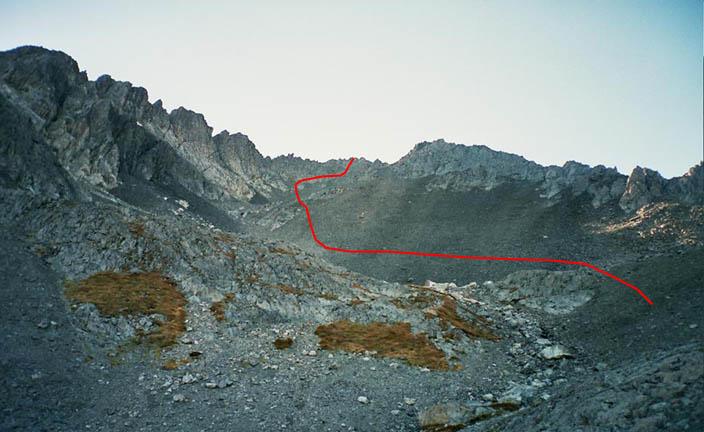
Pt 2151

Type
Altitude
2151m
Part of
Image
Lat/lon
-44.1251746972,169.696862289, NZ Topo Map
Topo50
BZ14 357 089
Add Place Add Route

Routes

Reference Title Grade Length Pro Quality Alert Operations
 From Top Hut, 1 1 0m
0

From Top Hut climb through beech forest to reach tussock clothed valley. Easy
stroll from there to summit.


  • P1
  • Alpine (Mt Cook) 1

Comments
UUID
 
8845a060-70fe-41f0-9b6a-fb241ef98ad6