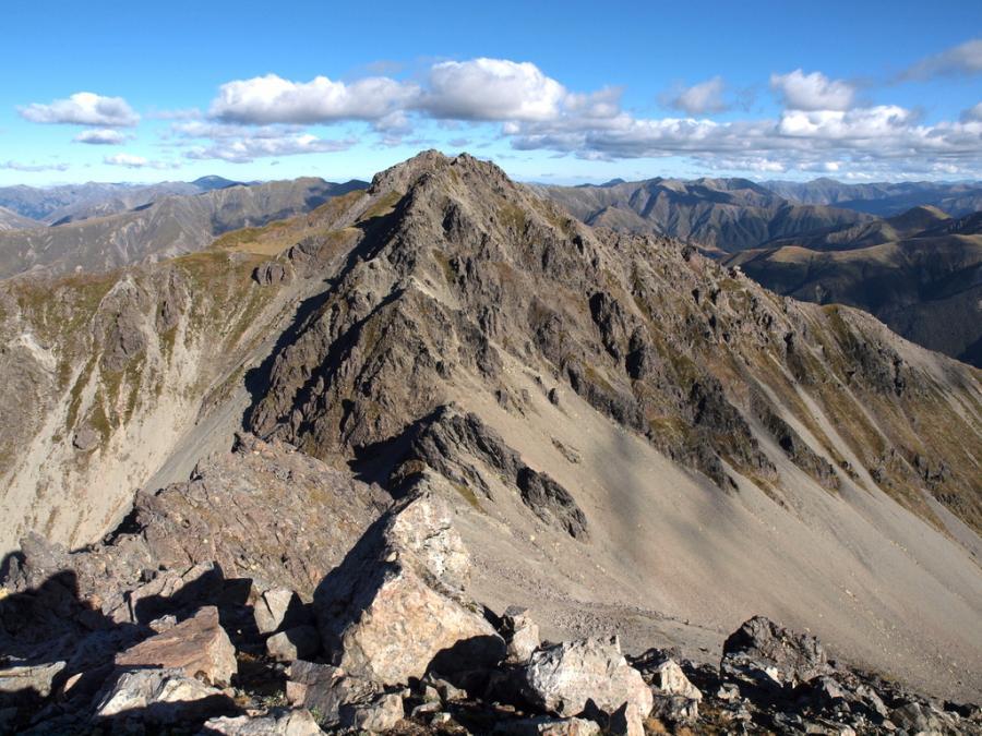
Type Mountain Altitude 1921m Part of Spenser Mountains Spenser Mts Image Lat/lon POINT (172.50742685 -42.32389784) Topo50 BT23 594 141 Accessed from Waiau Uwha River Add Place Add Route Routes Reference Title Grade Length Pro Quality Alert Operations North Face, 1 1 0m 0 Rate P1 Alpine (Technical) 1 About 4km down the Ada valley from the hut, climb through forest and scree to the tops and sidle the Thurso Stream basin to scree slopes leading to the summit pyramid. Log in or register to post comments Comments UUID 98d63b6f-8464-495a-8796-4fcd5f5eb0d4