Type
Altitude
2114m
Part of
Named for Frederick Weld, who in March 1855, with Alphonse Clifford, climbed onto a high point on Turk Ridge and spotted Tarndale, which led to the upper Clarence and opened up the important droving route to Canterbury.
Image
Lat/lon
-42.0980163,172.85497071, NZ Topo Map
Topo50
BS25 880 393
Accessed from
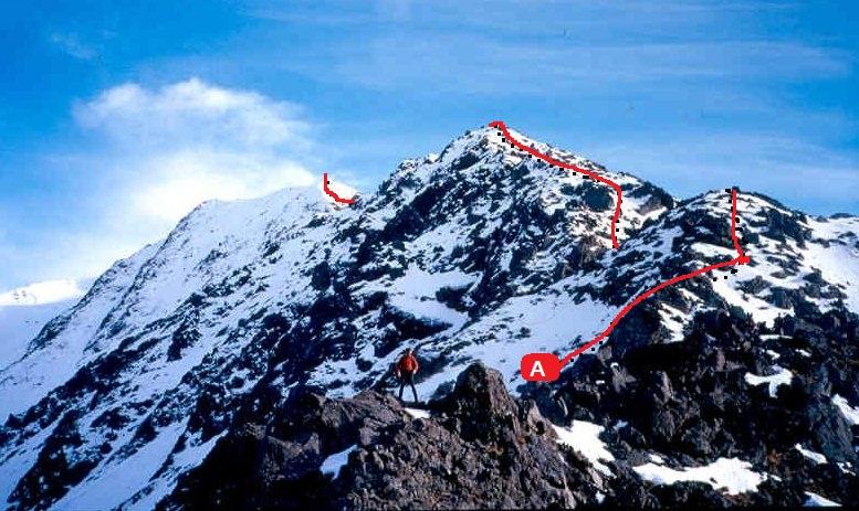
Routes
Comments
Attribution
Ben Winnubst
UUID
d853ee38-5662-4789-aa2f-88b0b31c5f20