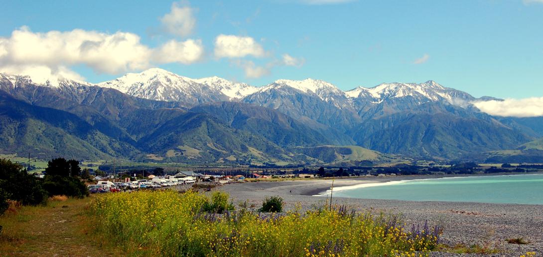
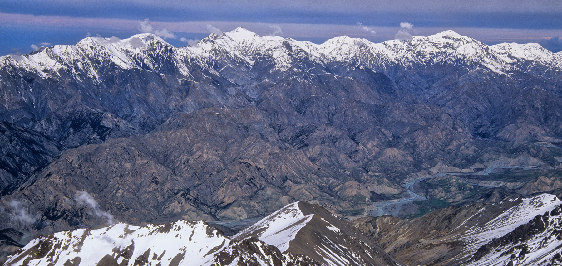
The rugged high peaks of the Seaward Kaikōura Range tower above the coast. Manakau, the highest peak on the range, is only 12km from the coast, and in winter the snowy summits seem tantalisingly close. The range experiences climatic extremes – dry in summer, southerly storms and snow in winter. Vegetation cover was greatly modified in Polynesian times by burning and later by pastoral clearing. Pockets of original podocarp forest remain, and some Halls tōtara and red beech on higher slopes. There are extensive areas of subalpine scrub, kānuka and mānuka. The range was formed by rapid land uplift, and there is much evidence of faulting and erosion on the upper slopes.
Ka Whata Tu o Rakihouia Clarence Conservation Park straddles the Seaward Kaikōura Range and includes the eastern side of the Inland Kaikōura Range.
Peaks of the southern range are reached from the Kowhai and Hapuku Rivers. Peaks north of Manakau are climbed from the Puhi Puhi Valley and Miller Stream. Western approaches from the Waiau Toa Clarence Valley are remote and seldom used.
There is a skifield (Mt Lyford) on private land at the very southern end of the range. From here you can access some moderate gully climbs on the south and south-east faces of Mt Terako. Note that if you walk out of the ski area you must sign an intentions book, since the skifield operators are responsible for safety.
Places
| Type | Name | Alert |
|---|---|---|
| Range | Haycock Range | |
| Mountain | Mackintosh Knob | |
| Pass | George Saddle | |
| Mountain | Pt 2311 | |
| Mountain | Tarahaka | |
| Mountain | Pt 2414 | |
| Mountain | Te Ao Whekere |
|
| Mountain | Manakau | |
| Mountain | Uwerau | |
| Pass | Kowhai Saddle | |
| Mountain | Mt Fyffe |
|
| Mountain | Mt Saunders | |
| Mountain | Shattered Pk | |
| Mountain | Snowflake | |
| Mountain | Pt 1757 | |
| Mountain | Warder | |
| Mountain | Pt 1593 | |
| Range | Hawk Range | |
| Range | Dog Hills |
Routes
Images
Photos: https://www.flickr.com/photos/expatnomad/353488709 (CC BY-NC-SA 2.0) and Shaun Barnett/ Black Robin Photography

