Map
Routes
| Reference | Title | Grade | Length | Pro | Quality | Alert | Operations |
|---|---|---|---|---|---|---|---|
| North Ridge, 2- | 2- | 0m | |||||
From the head of the North Mathias River climb the Omatane Glacier to reach the start of the |
|||||||
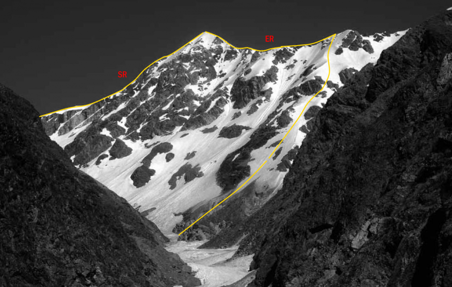
| SR | SRSouth Ridge, 1+ | 1+ | 0m | ||||
From Unknown Col the ridge is broad at first but steepens below the summit and may require |
|||||||
| ER | EREast Ridge, 2- | 2- | 0m | ||||
From the upper Unknown Stream, follow a vague rock buttress to a high point immediately |
|||||||
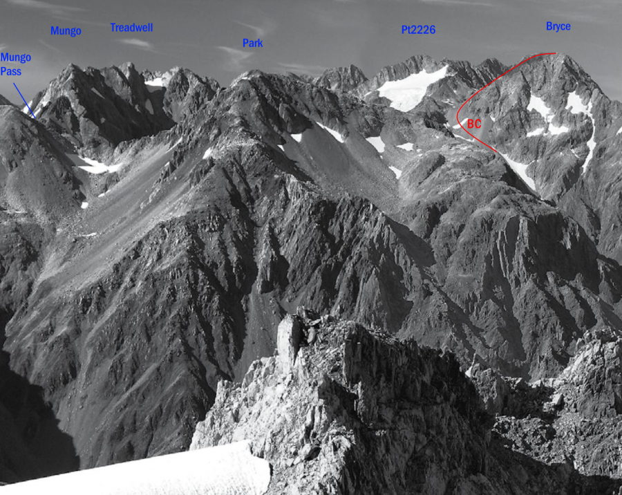
| BC | BCEast Ridge from Brunswick Creek, 1 | 1 | 0m | ||||
Brunswick Creek provides straightforward access directly up the branch draining Mt Bryce. |
|||||||
Images
in association with the Canterbury Mountaineering Club