Type
Face
Part of
Aspect
North
Approach
The routes follow weaknesses up the steep tussock slopes that drop from the summit of Mt Belle to the Milford Road.
Image
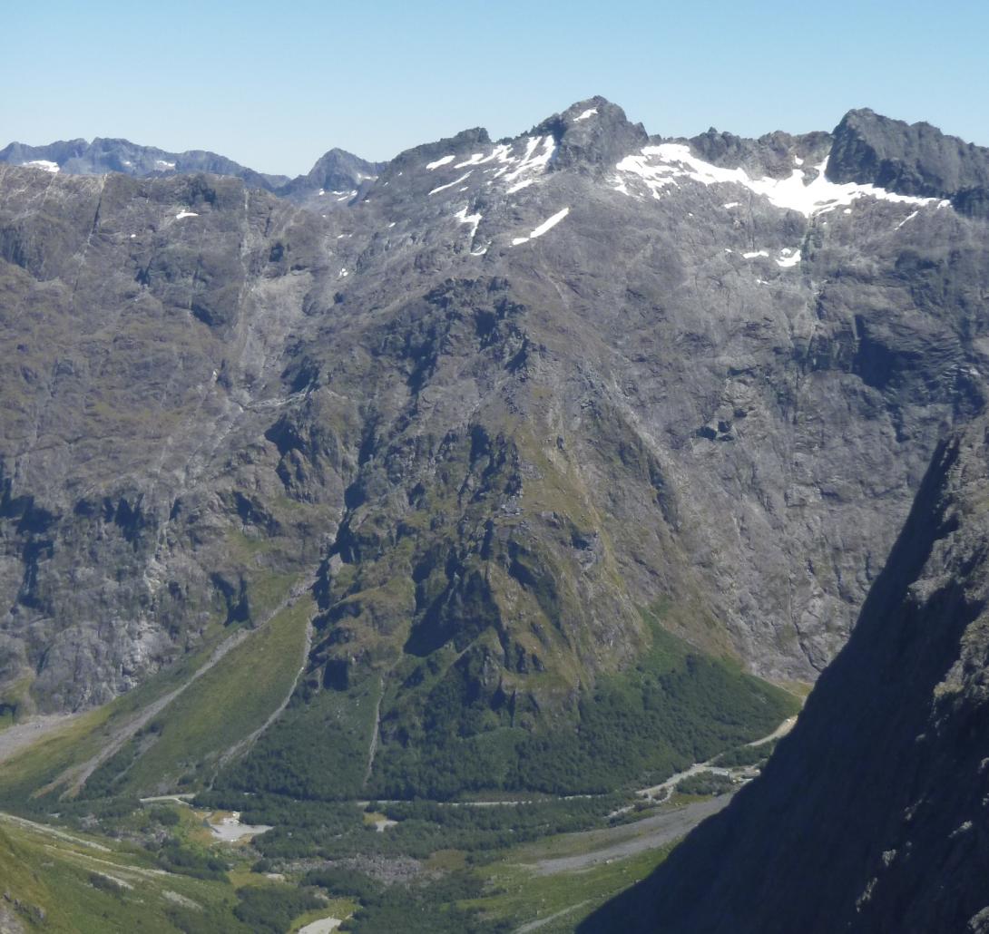
Routes
| Reference | Title | Grade | Length | Pro | Quality | Alert | Operations |
|---|---|---|---|---|---|---|---|
| Left-Hand Route | 0m | ||||||
Work up the bluffs on the right of the main avalanche groove then continue up a series of ledges to join the original route at the base of the summit rock. |
|||||||
| Original Route | 0m | ||||||
Start opposite the gravel road to Homer Hut. Ascend the large tussock fan, then take a series of right-slanting tussock ledges to gain the crest of the ridge and the snowfield leading to the final rock peak. |
|||||||
| Homer Tunnel to Mt Belle | 0m | ||||||
From 200m left of the Tunnel take the dry creek-bed through the bluffs, then left to a large gut, which is followed to the North East Ridge of Belle. |
|||||||
Comments
Attribution
Craig Jefferies
UUID
b139cb23-3495-4490-97ad-548d32e095b7