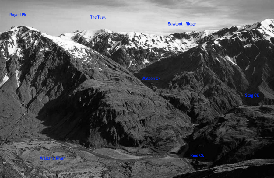
The ridge from The Tusk to Ivory Lake gives reasonable travel, mainly on the south side of the ridge, but parts are exposed, some climbing is involved, and a rope is recommended.
Duncan and Hamish Hamilton, and their dog, 2000s
Routes
| Reference | Title | Grade | Length | Pro | Quality | Alert | Operations |
|---|---|---|---|---|---|---|---|
| Ivory Lake Hut to Top Tuke Hut | 0m | ||||||
Cross the Ivory Lake outlet and follow the ridge up over Pts 1620 and 1870 metres. Continue around to the junction with Sawtooth Ridge, then follow the range out to Beaumont West. Descend west then north to a flat area at 1700 metres (J34 402885 / BV18 302 269) and follow the spur west to J34 386883 / BV18 286 267. There is a DOC marked route through scrub, from poles in the tussock down to the Tuke riverbed above the hut. A variation from Ivory Hut accesses the ridge at around 1870 metres from the head of the lake. Time : 6 hrs |
|||||||
| Top Tuke Hut to Price Basin Hut | 0m | ||||||
Follow up the Tuke Basin towards the Sawtooth–Lange Range–Mt Beaumont junction (see Ivory Lake Hut to Top Tuke Hut, above). Leave the ridge at J34 402863 / BW18 302 247 and descend the stream into the upper Price River. Travel is reasonable down to the forks at J34 430861 / BW18 330 245. Follow up the stream to the south. Before the waterfall (at the 1000-metre contour) take the partly gravelled true right branch, leading up to the saddle immediately west of Mt Wylde Brown. |
|||||||
in association with the Canterbury Mountaineering Club
