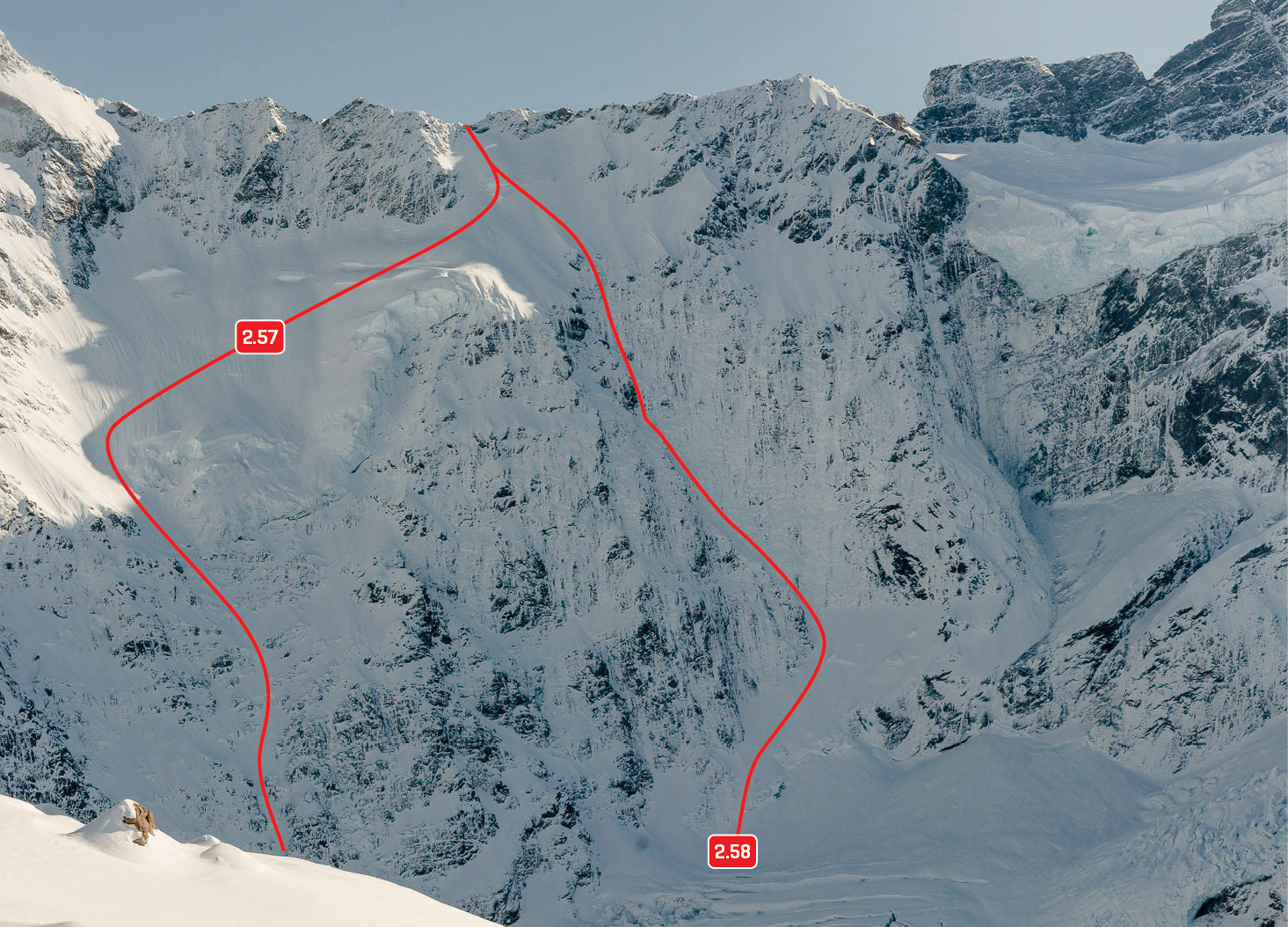
A pioneering first ascent, now rarely undertaken because the Copland valley provides much easier access to the west side of Sefton.
The route begins from the Frind-Mueller confluence. From the true right edge of the lower Frind Glacier, head up a gully onto a rock rib north of the Ngaroimata Falls, gaining height and tending right to reach the frequently broken Donne Glacier. Ascend northwards across the glacier under Sharks Teeth to reach Brunner Col (grade IV, 3 to the col). The Donne Glacier has retreated considerably in recent years, and by midsummer most of this route is on glacier-worn rock.
Cross Brunner Col and drop onto the west side (the given technical grade of 2+ is from Brunner Col). Exposed and avalanche prone slopes under Brunner give access to the Douglas névé and the west ridge. Complicated crevasses can make crossing the névé time consuming in late summer. The final 400m to the summit is on moderately steep snow, which can be icy.
- P1
- Alpine (Commitment) IV
- Alpine (Technical) 2+
