Type
Mountain
Altitude
2580m
Part of
Map
Accessed from
Image
Caption
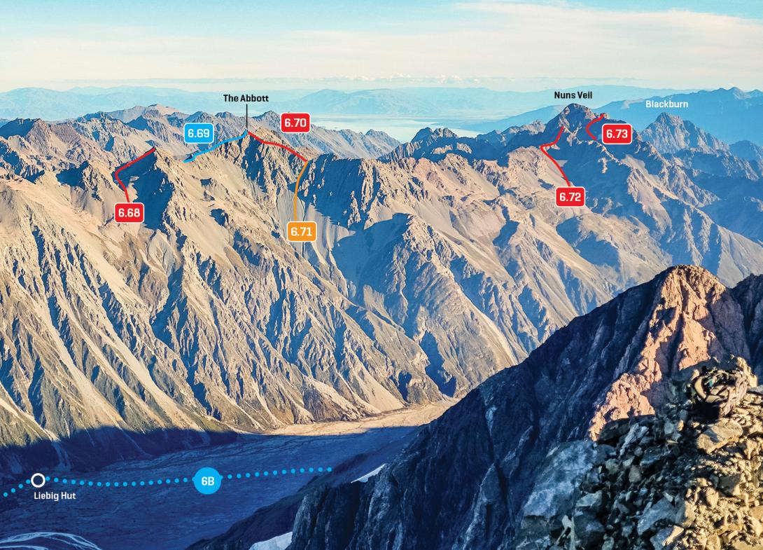
Southern Liebig Range, Jollie Pk to Mt Biretta, March 2016
Rights credit
Rob Frost/Subalpine Photography
Routes
Comments
This place appears in
Attribution
ATP 2018 (Rob Frost)
UUID
6818882e-285a-4b7f-8b5f-39e3912ec80c