Map
From Ruera River (grade I, 2): From Bannister Rock, travel up the bouldery streambed to reach gravel flats at 1050m. This point can also be reached from the base of Crumbling Ridge by traversing at about 1060m, and then crossing the 1100m moraine shoulder. From the true left edge of the flats, slowly gain height on old moraines to reach the base of a prominent tussock spur at BX15 592 667.
The climb to the saddle is straightforward, on tussock, gravel, and snow slopes. The slopes on the Strauchon side comprise steep tussock spurs with minor rock bluffs. The slopes furthest left (north-east) generally give the best travel. The easiest way down the 250m high moraine wall is directly beneath the saddle. Travel along the true right lakeshore was straightforward in early 2015.
From Strauchon River (grade I, 2): From the tussock terraces on the true right of the Strauchon glacial lake, pick a line through rock bluffs up to the saddle. The slopes furthest right (north-east) generally give the best travel.
The descent to Darkwater Stream is on moderately steep tussock spurs and snow gullies. Follow moraine terraces on the south side of the valley, aiming for the gravel flats below The Fang. From the flats, either travel down the bouldery streambed to Bannister Rock (located on the true left of Darkwater Stream, 100m upstream of the confluence with the Ruera Glacier Stream), or cross the 1100m shoulder on the true right and sidle at 1060m to the base of Crumbling Ridge.
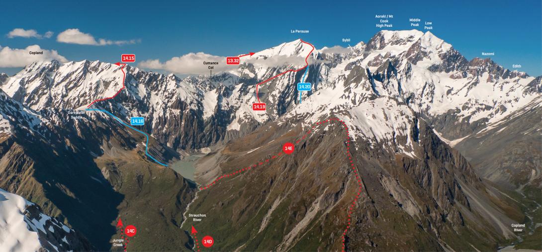
The Strauchon and upper Copland valleys from Tekano Peak, December 2012