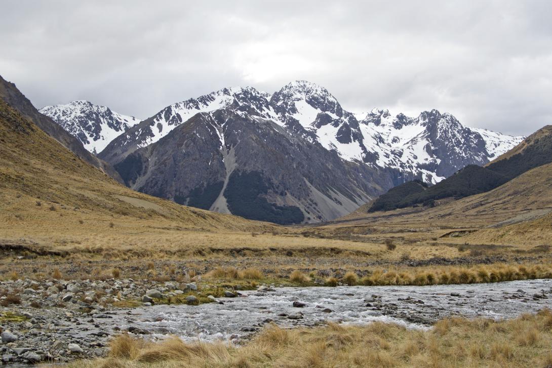
Type
Altitude
2182m
Part of
The highest peak in the Raglan Range. Its eastern location means it can be a worthy option when weather is forecast to be marginal on the Main Divide.
Lat/lon
POINT (173.03385095 -41.98647652)
Topo50
BS25 028 517
Routes
Reference | Title | Grade | Length | Pro | Quality | Operations |
---|---|---|---|---|---|---|
SW Couloir, 2- | 2- | |||||
From the western branch of the Severn River, gain a broad slope above the tarn studded basin at 1650m. This turns into a wide easy couloir. Follow into a short, moderately steep gully (may contain good ice in colder months) to gain the west ridge, then easy slopes to the summit.
|
Comments
UUID
70f17299-23ca-4080-baa6-870dc2e89521
Descriptions and photos added.