Type
Altitude
2123m
Part of
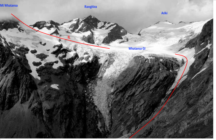
Mt Whataroa is one of the dramatic buttressed peaks visible on the Butler Range when looking up the
Whataroa Valley from the highway.
Image
Lat/lon
-43.393136,170.505066, NZ Topo Map
Topo50
BW17 979 925
Accessed from
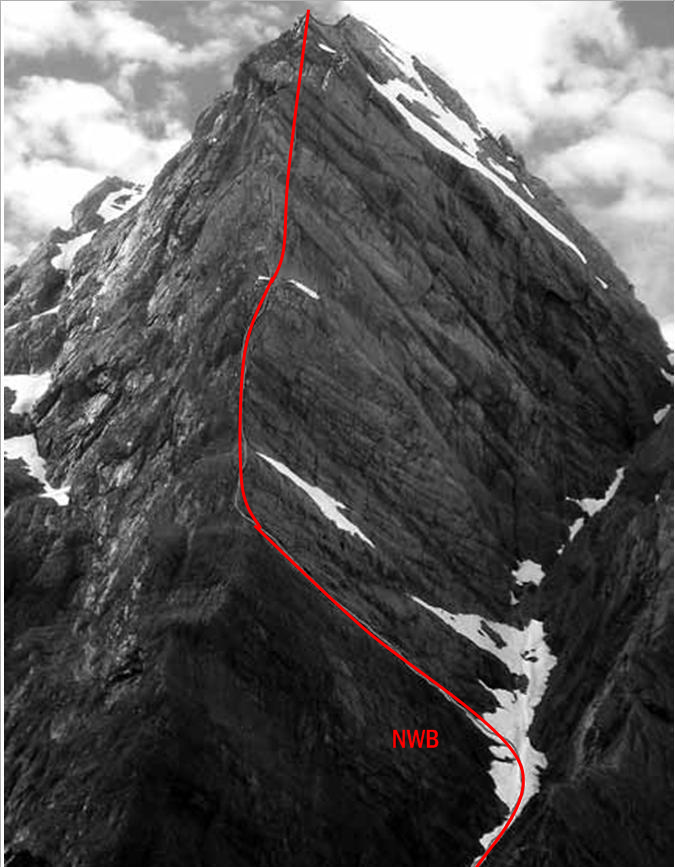
Routes
Images
Comments
Attribution
Yvonne Cook and Geoff Spearpoint,
in association with the Canterbury Mountaineering Club
in association with the Canterbury Mountaineering Club
UUID
cd81d209-1ab5-49f2-a50f-2dacc9809a58