Type
Altitude
2017m
Part of
Walktime
From Wye Creek Saddle 5 minutes on skis.
Aspect
West
Lat/lon
-45.086066,168.835144, NZ Topo Map
Approach
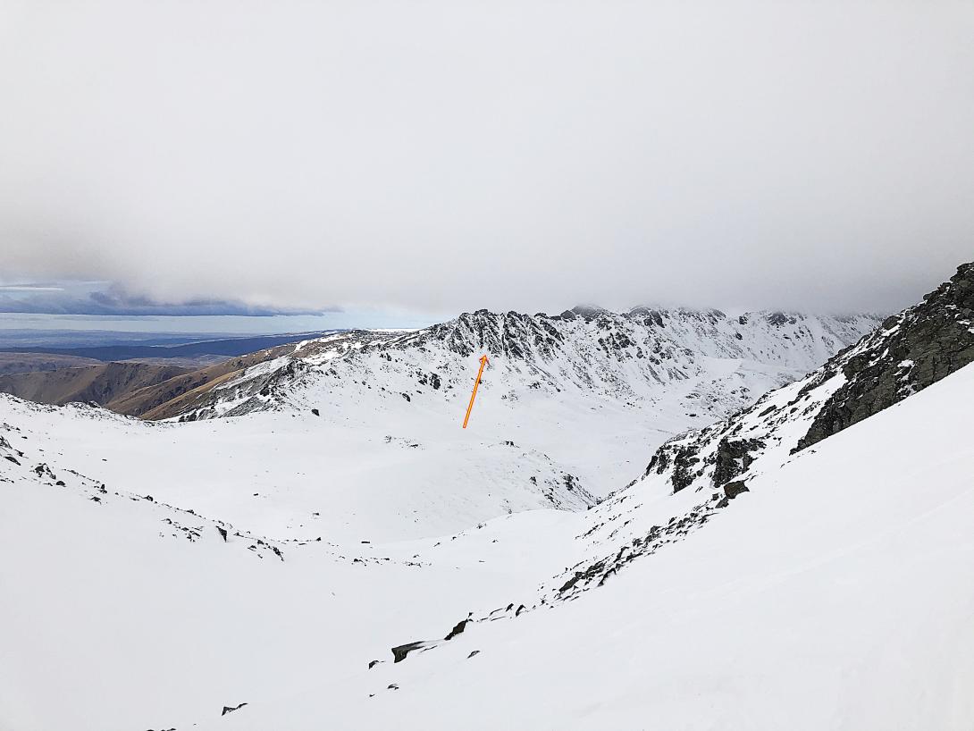
From Wye Creek Saddle ski down and the peak is across the basin on the true left side.
Routes
| Reference | Title | Grade | Length | Pro | Quality | Alert | Operations |
|---|---|---|---|---|---|---|---|
| Savanna Bi*ches, M3 | M3 | 120m | |||||
|
Approx. 120m M2-M3. Last pitch 10m M3 rocky section. A lot of good turfs, logical line with good protection.
|
|||||||
| Mirage gully, M3 | M3 | 100m | |||||
|
Gully on the left from Savanna bi*ches. Good steep snow with last 5m rocky section M2-M3. Approx. 100m.
|
|||||||
Comments
UUID
4c4da5cd-f65d-44cb-a440-1057e7b0482a
