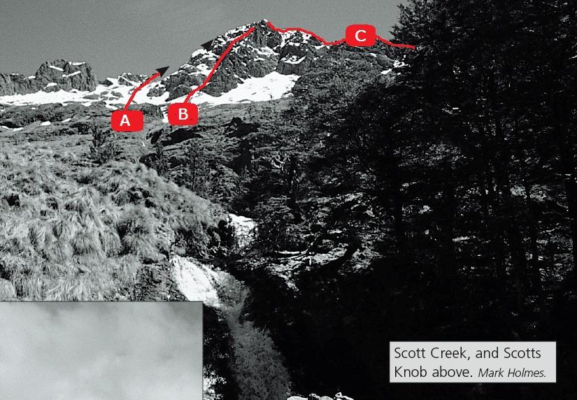
The peak is slightly east of the main Raglan Range. Scott Stream is the easiest access.
Scott Stream is the easiest access. From Greigs Hut cross the Branch, following a track into the stream. Good campsites in a basin at 1200m. In winter, ice forms in runnels and on buttresses above the campsite.
Routes
| Reference | Title | Grade | Length | Pro | Quality | Alert | Operations |
|---|---|---|---|---|---|---|---|
| 1 | 1Standard Route, 1 | 1 | 0m | ||||
From the basin climb easy, scrubby slopes on the true left of the stream into tussock basins and scree below the peak. Ascend easy slopes to a notch just south-west of the summit. |
|||||||
| 2 | 2South Face, 3 | 3 | 0m | ||||
The gully in the centre of the face leads to a steep traverse to the left, and is a good winter ice climb. |
|||||||
| 3 | 3North East Ridge, 1 | 1 | 0m | ||||
Climb scree slopes east of the peak to the ridge. Follow the ridge till a ledge allows bluffs and gendarmes to be turned by traversing slopes on the Silverstream side to regain the upper ridge. . Can also be done from the Silverstream-Branch River confluence. |
|||||||
photo Mark Holmes
