Type
Altitude
2877m
Part of
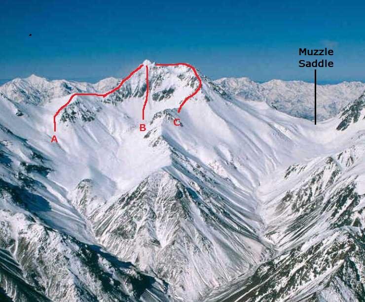
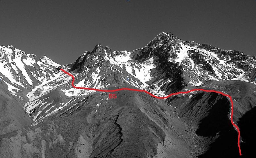
Second highest peak in the Inland Kaikouras, featuring a spectacular steep drop from the summit to the south into Dart Stream (a tributary of the Clarence River).
Lat/lon
POINT (173.63754272 -42.00938188)
Topo50
BS27 528 490
Access
Via either the Clarence River or the Hodder River.
See important information for access to the Hodder Huts:
http://www.marlboroughtrampingclub.co.nz/Mt-Tapuae0Uenuku/Huts-Access
Accessed from
Routes
Reference | Title | Grade | Length | Pro | Quality | Operations |
---|---|---|---|---|---|---|
A | North East Ridge | 2 | ||||
B | North Face | 2 | ||||
C | North West Ridge | 3+ | ||||
BS | Branch Stream Route | 1 |
Images
Comments
This place appears in
Attribution
Ben Winnubst
Photo Craig Potton
Photo Craig Potton
UUID
4a811365-959b-4545-82e2-cfd9fb9da956