Type
Altitude
2090m
Part of
Above West Mathias River.
Lat/lon
-43.118966,171.108541, NZ Topo Map
Topo50
BW19 461 242
Accessed from
Routes
| Reference | Title | Grade | Length | Pro | Quality | Alert | Operations |
|---|---|---|---|---|---|---|---|
| North Ridge | 0m | ||||||
A straightforward climb, loose in places. |
|||||||
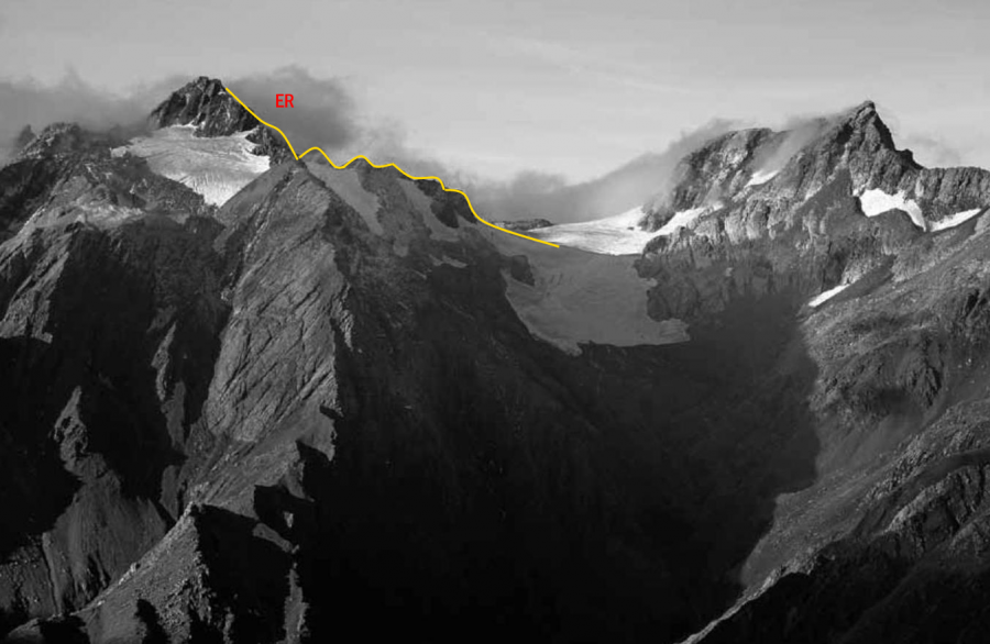
| ER | EREast Ridge | 0m | |||||
The East Ridge was originally reached from Canyon Creek and is a straightforward climb to the top, loose in places. |
|||||||
Comments
Attribution
Yvonne Cook and Geoff Spearpoint,
in association with the Canterbury Mountaineering Club
in association with the Canterbury Mountaineering Club
UUID
e5c0f48d-48e0-48b1-b45d-77eaa787ea59
