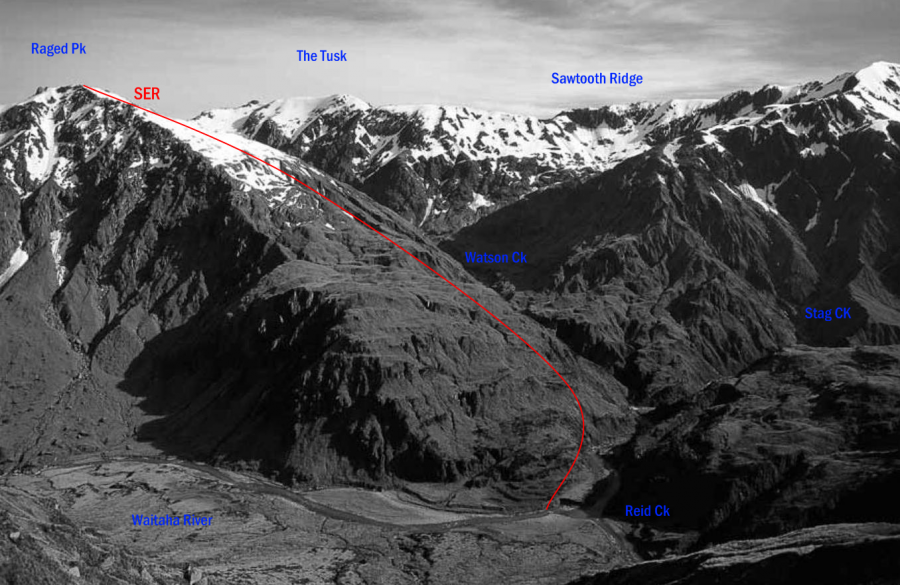
Type
Altitude
1943m
Part of
Lat/lon
-43.116711,170.870962, NZ Topo Map
Topo50
BW18 268 240
Accessed from
Routes
Comments
Attribution
Yvonne Cook and Geoff Spearpoint,
in association with the Canterbury Mountaineering Club
in association with the Canterbury Mountaineering Club
UUID
6400ff61-a603-46fa-b13e-321ff067a6e5
