OPEN: Access is subject to conditions.Updated 24 December 2025, by Richard Thomson. Permission is required to cross Erewhon Station land. Log in for contact details.
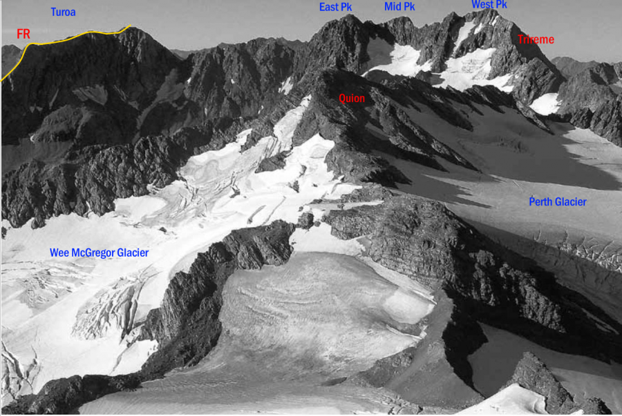
Type Mountain Altitude 2321m Part of Cloudy Peak Range Map Lat/lon-43.371428,170.726681, NZ Topo Map Topo50 BW17 158 954 Accessed from Veil Stream Frances River Image Routes Reference Title Grade Length Pro Quality Alert Operations From Veil Stream, 1 1 0m 0 Rate P1 Alpine (Mt Cook) 1 Head up Veil Stream. Climb the ridge between Rollover and Clover Glaciers, then follow Rollover Glacier and make a steep ridge scramble to the summit. FR FRFrom Frances River 0m 0 Rate P1 Follow Tauroa Creek for about 1 km then climb a scree slope that leads to the long north-east ridge of Tauroa. From here options exist via the south-east ridge, east face and north-east ridge. Add Place Add Route Log in to post comments Comments Attribution Yvonne Cook and Geoff Spearpoint, in association with the Canterbury Mountaineering Club UUID 4ccb1f70-1290-4392-b050-000331c5d2d0