Permission is required to cross Erewhon Station land. Log in for contact details.
Consolation Crag
Updated 24 December 2025, by Richard Thomson.
Type
Altitude
1500m
Part of
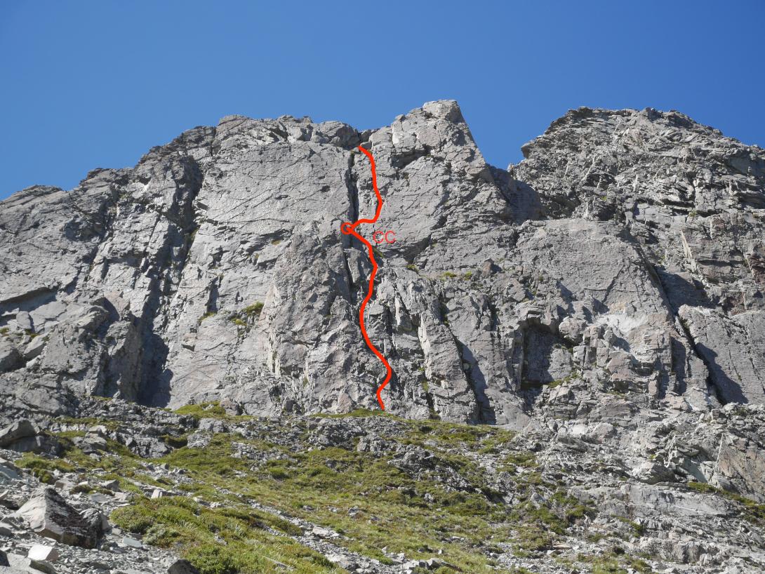
One two-pitch route was climbed on the walk out when high winds prevented a climb on Cloudy Peak proper. Potential for more routes. Other crags in the lower valley have potential for similar routes, useful for when weather or time limitations prevent climbing the longer routes in the area, or as a half day option before walking out.
Can walk off top and around north side of crag to get back to the base.
Aspect
West
Lat/lon
-43.480702,170.778995, NZ Topo Map
Topo50
BX18 2038 8341
Approach
A ~60m high wall on the true left, high above the 'oasis' at the 1500m contour.
Routes
Comments
UUID
765628a6-bc23-4a98-8e46-e83d50f7497f
