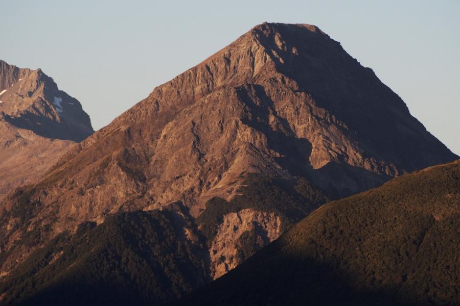
Routes
| Reference | Title | Grade | Length | Pro | Quality | Alert | Operations |
|---|---|---|---|---|---|---|---|
| Gunbarrel Scree, 2 | 2 | 0m | |||||
Approached via the long, very steep, dangerous, scree shoot just downstream of the East Edwards River confluence. This shoot is known locally as the Gunbarrel Scree. A quick observation of the riverbed should leave you in no doubt as to why! Climb the scree upwards and southwards into a narrow gut joining the saddle between the two peaks. Both summits can be climbed on rotten rock from this point. Wear a helmet, and keep looking up! A dangerous route. |
|||||||
| South West Ridge, II,1 | II,1 | 0m | |||||
|
From the confluence of the the Edwards and Mingha Rivers, head up through reasonably open beech forest. Trend towards the Mingha side to avoid a bluff, then follow the ridge to bushline. Two minor sections of bluff as well as a pocket of thick juvenile beech can be passed on the Mingha side. Travel from bushline to the summit is short and straightforward. A 4–6hrs round trip.
|
|||||||
