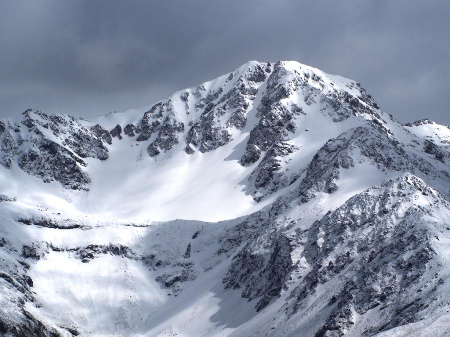
Mt Princess

Type
Altitude
2126m
Part of

Saint James Range

Image
Lat/lon
-42.17960722,172.69135578, NZ Topo Map
Topo50
BT24 745 302
Add Place Add Route

Routes

Reference Title Grade Length Pro Quality Alert Operations
 Princess Bath Route, 1 1 0m
0

  • P1
  • Alpine (Technical) 1

From Maling Pass, follow easy spurs into a series of tussock basins (good camping), then scree to Princess Bath. Scree chutes lead to the south-east and south-west ridges. Or, best, the central gully.


Comments
UUID
 
20ea8a5d-fdce-47cb-8d1c-b010550cc67e