Type
Altitude
1206m
Part of
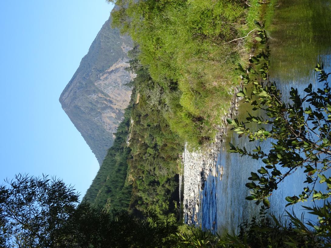
1206m horn visible from 50km NE. Limestone on Wangapeka River side, marble on Dart River side.
Walktime
925m height gain from roads on either side 1.5km of blackberry, gorse and pine plantation in valley to west of Thomas Stream.
Lat/lon
-41.44624,172.62342, NZ Topo Map
Approach
WAM maps say Kahurangi NP at upper altitude and summit, and a corridor on eastern (Dart River) side.
Access (only visible to logged in users)
Log in to view access information.
Comments
UUID
4934095d-831a-431b-acc5-fbb893c01ccd
