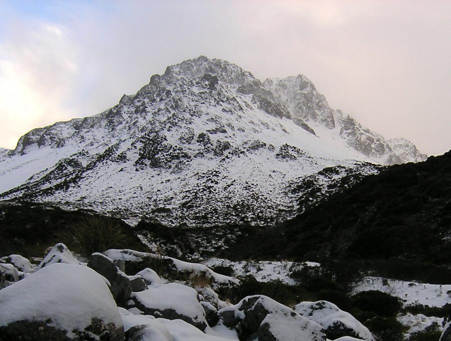
Mt Valiant

Type
Altitude
1847m
Part of
Image
Lat/lon
POINT (171.77947998 -42.88687614)
Topo50
BV21 003 510
Add Place Add Route

Routes

Reference Title Grade Length Pro Quality Alert Operations
 From Hawdon Biv, 1 1 0m
0

  • P1
  • Alpine (Technical) 1

Climbed from the East Branch of the Hawdon River. From the Hawdon Biv follow the spur at the confluence of the streams until clear of the small gorge, then sidle towards the saddle at the head of the valley between the peaks. A return trip from Smooth Peak can be made to the junction of the East Hawdon with the main valley over three higher unnamed peaks.


Comments
UUID
 
8184cd14-5031-412d-8e28-057ac04b4487