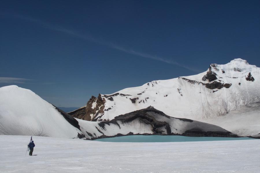
Whatever you do, don’t fall into the lake!
Routes
| Reference | Title | Grade | Length | Pro | Quality | Alert | Operations |
|---|---|---|---|---|---|---|---|
| Crater Lake Traverse, I,2 | I,2 | 0m | |||||
Pyramid makes a satisfying traverse, or even better, the high point of a circumnavigation around Crater Lake. It’s an enjoyable adventure with close-up views of the Crater Lake – especially when it is having its small steam eruptions. The traverse is best done south to north, with a very narrow and exposed section climbing from the lake outlet over ‘L Peak’ to the summit. The 1995 eruptions made this section of the ridge easier to traverse in winter, but harder in summer. The northern ridge is also fairly exposed, but not at all difficult. In 1971, Peter Otway and Marshal Gebbie were caught on the summit of Pyramid during an eruption and narrowly escaped being hit by ejected blocks, asphyxiated by ash and gas, and washed off by cascading water. Later, climbing Pyramid at Easter 1974, Dave Gobey and Chas Tanner ‘just missed seeing DSIR scientists detonate 90 lbs gelignite 20 feet below the surface of Crater Lake at 9am’. |
|||||||
| Whangaehu Faces | |||||||
|
Great terrain lies on the steep south side of Pyramid. Easier snow slopes are |
|||||||
