Routes
| Reference | Title | Grade | Length | Pro | Quality | Alert | Operations |
|---|---|---|---|---|---|---|---|
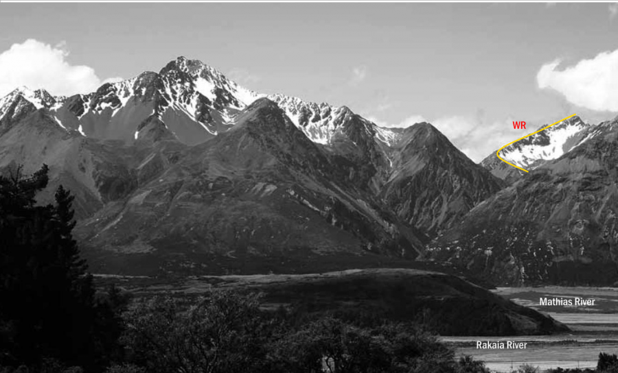
| WR | WRWest Ridge, 1+ | 1+ | 0m | ||||
Follow Chimera Creek and climb the scree slide that leads to a big basin south-west of the summit of Turret Peak. Climb scree on to the West Ridge and scramble to the top, avoiding difficulties on the west side of the ridge and negotiating a short notch and cheval some distance below the top. |
|||||||
| North East Ridge, 2- | 2- | 0m | |||||
Follow Kakapo Stream and, after a couple of kilometres, pass a 10-metre waterfall on the true left and make a 500-metre bushbash above a small gorge. A longer route involves climbing the ridge south of Kakapo Stream and dropping down into the upper basin west of Mt Gideon. Continue upstream to the tarns north of Pt 1731 metres and from here gain the ridge between Pt 1921 metres and Turret Peak. Follow a steep shelf on the north side of the ridge to avoid gendarmes, and then climb a gully that approaches the summit directly. An alternative access, Boulderstone Stream, offers easy travel to the upper forks from the Wilberforce River. Easy travel continues up the true left branch, climbing out to Pt 1611 metres and sidling around to Pt 1731 metres. |
|||||||
