Type
Altitude
1690m
Part of
East of Melita Peak overlooking Lake Gunn and the Cascade Creek Campsite. A c.6 hour return hike from Mistake Creek track through immersive forest and open ridges to reach the summit blocks.
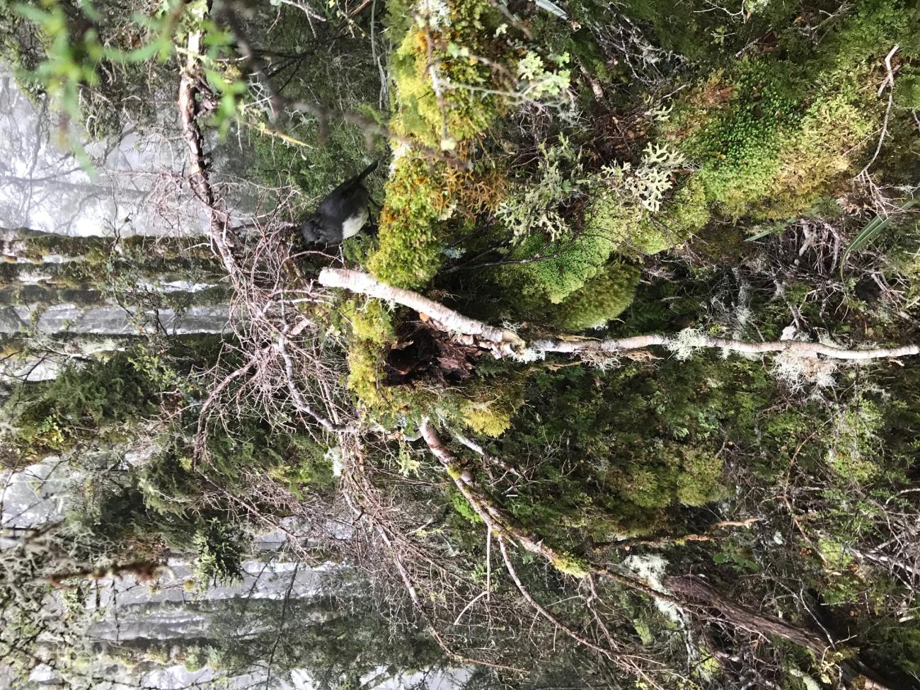
After approximately 2.5km leave the Mistake Creek track and head east towards the flat saddle north of the small rise of Pt 547. Then find your way up the steep forested ridge leading from this saddle. Requires negotiation of deep moss and fallen trees before emerging from the forest at contour c.1160. Summit approached from the western scree slopes and then rocky eastern ridge to avoid the lose rock and drop-offs on the eastern flanks above Cascade Creek Campsite.
Image

Lat/lon
POINT (168.06084 -44.87746)
Access
See Mistake Creek track.
Images


Comments
UUID
151dcb73-2e3b-4394-b242-55c398506bc7