Type
Altitude
1850m
Part of
Image
Lat/lon
POINT (171.58438683 -42.91617501)
Topo50
BV20 845 475
Accessed from
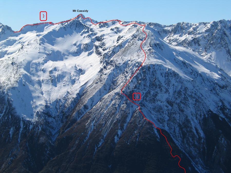
Routes
| Reference | Title | Grade | Length | Pro | Quality | Operations |
|---|---|---|---|---|---|---|
| 1 | From Temple Basin | 1 | ||||
| 2 | Via Cons Track | 1 |
Comments
Attribution
Photo; Graeme Kates
UUID
fec2cbf1-ebdd-435f-9695-9ff01bb8786f