Type
Altitude
1836m
Part of
Lat/lon
POINT (171.54499054 -42.96650383)
Topo50
BV20 813 419
Accessed from
Routes
| Reference | Title | Grade | Length | Pro | Quality | Operations |
|---|---|---|---|---|---|---|
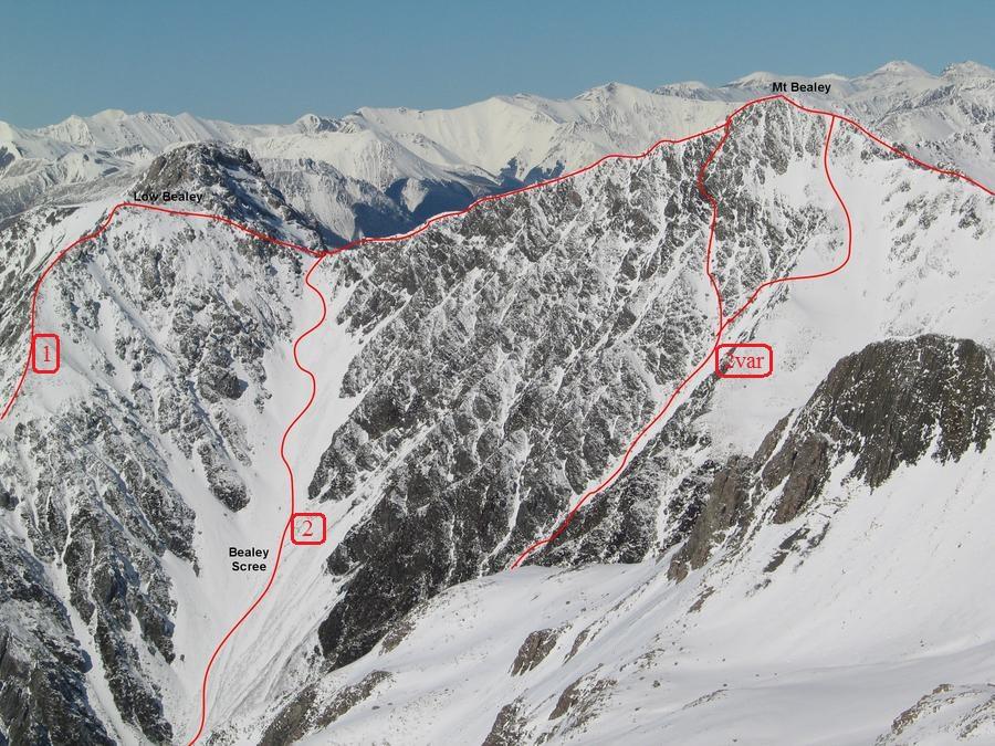
| 1 | Via Mt Bealy Track | 1+ | ||||
| 2 | Via Rough Creek | 1 |
Images
Comments
Attribution
Graham Kates
UUID
be9d874c-05bb-4014-bbd7-57f2ab219656


The line marked as 1 in the photo differs to 1 in the photo in the guide. The line marked 1 here is wrong. The track actually approaches on the ridge line from the left not up the steep spur shown (which is probably unclimbed).
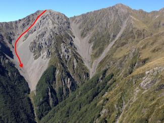
A scree descent is possible just left of the line marked 1 (nearly from the summit of point 1760m). This scree is a superior descent route to the route marked 2. It is better scree for further and joins rough creek several hundred metres further down stream. It is a well used route as evidenced by the track which is visible from the Avalanche Peak track. See my photo added...